
Ride PA
Mapgears Inc.
Track trips and list equipment
Track trips with breadcrumb navigation, speed, and distance statistics. Log equipment details and note vehicle-specific distances. Access satellite view for enhanced map navigation.
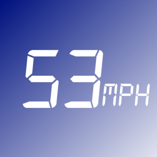
Monitors vehicle speed and alerts users.
The app monitors vehicle speed and alerts users when surpassing a set speed limit. It displays current speed in km/h or mph and changes background color based on speed.
Showing 441–460 of 1,000 ranked alternatives.
Mapgears Inc.
Track trips and list equipment
Track trips with breadcrumb navigation, speed, and distance statistics. Log equipment details and note vehicle-specific distances. Access satellite view for enhanced map navigation.

Adventure Projects Inc.
Explore ski lines with GPS routes
Navigate ski trails with GPS route data and elevation profiles. View interactive maps with photos and expert recommendations. Search for ski lines by location. Plan routes with detailed insights on difficulty and highlights.

Portman Electronics Ltd
Real time vehicle tracking service
The app provides real time GPS/GSM/GPRS tracking services. Users can monitor up to 10 tracking devices simultaneously using the IES GSM Tracking System.

永福 李
Vehicle positioning and information display.
The app displays vehicle location and information including time, mileage, speed, and driver. Users can query historical vehicle trajectories and remotely search for video files on devices and servers.


Shenzhen Funny Auto Technology Co., Ltd
Intelligent vehicle location and history.
The app provides vehicle location checking and history playback. It also allows viewing device alarms and uses cloud storage for faster response speeds.

Blue Blink One, SL
Know where users are easily.
The app provides coordinates, direction, and elevation above sea level. Users can save locations by searching and tapping on the map, then send this information via email, Twitter, or SMS.

On-Core Software LLC
Log speed, time, and distance.
The app logs a user's fastest speed, elapsed time, and distance. It can map a route traveled and export GPX files.

Department of Planning, Industry and Environment
Explore and share NSW nature places.
The app displays NSW nature places on a map, including forests, animal habitats, marine sites, and viewpoints. Users can plan itineraries, receive alerts for nearby locations, and share discoveries.


dataWorks GmbH
Navigate with altitude and accuracy
Displays altitude, coordinates, and speed with options for metric or imperial units. Shows accuracy and warns about signal issues. Offers aircraft mode with in feet. Compares current altitude with known values. No ads or data collection.

Techstep Pte. Ltd.
Get Haj information and updates.
The app provides Haj registrants with profile information from the Sigatul Haj website. Users can view their application status and receive notifications about other activities.





VerroenICT Holding B.V.
Track distance and speed with symbols
Track progress through a roadbook with symbols. Display current track totals and average speed over time or distance. Monitor distance and speed in kilometers or miles.
Apps are ranked by functional similarity, category fit, rating confidence, and popularity.