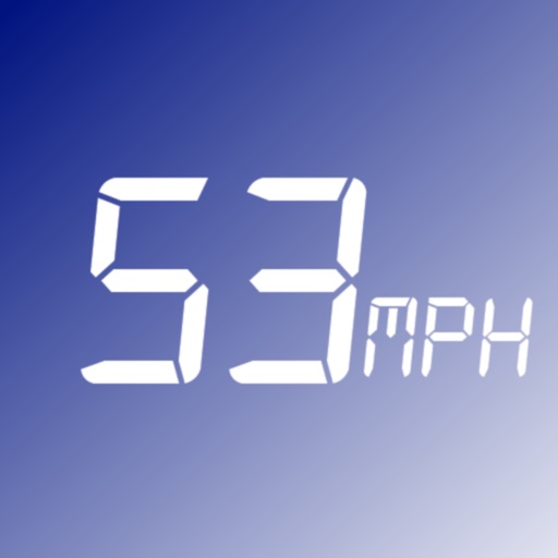
The app monitors vehicle speed and alerts users when surpassing a set speed limit. It displays current speed in km/h or mph and changes background color based on speed.
by Mohamed Rashwan★ 4.02 ratingsNavigationFreeData updated 2026-09-25
GPS displays speed, altitude, and track data with real-time profiles. Logs activity in sleep or background mode. Stores recorded tracks for analysis and map display. Shares tracks across devices via iCloud.
Enter coordinates to set waypoints. Navigate to locations using latitude and longitude. View maps with metric or customary units. Track direction and distance. Save and recall multiple waypoints.
Track traffic conditions on King Fahd Causeway by analyzing crossing times from users with the . View expected bridge status for specific future times. Access real-time and forecasted traffic data through the or website.
Calculate speed and distance traveled. Tap the screen to reveal control buttons. Hide buttons after five seconds. View settings and information windows.
The app records GPS track data for power boating, including direction, speed, and time. Friends can remotely follow trips in real-time and review tracks, speed, and direction.
The app provides continuous audible monitoring of the user's current speed. It tracks speed using the iPhone's GPS and plays associated sound effects and changes color when speed enters defined ranges.
Monitor vehicle with real-time current, average, and maximum readings. Track distance traveled. Use HUD mode to project onto windshield. View map-based location tracking. Switch between miles per hour and kilometers per hour.
Track routes for hiking, running, cycling, and other activities with GPS. View recorded paths on maps. Save favorite locations for quick access. Measure distance, speed, and elevation. Export data in various formats.
Record video in low, medium, and high resolutions with adjustable settings. Mount device to dashboard for front-facing recordings. Save and share videos. Use footage for insurance claims in case of accidents.
Find available street parking spots in your area or another neighborhood. Connect with drivers looking for parking. Search for open spots and book them. Earn points by hosting spots and lose points by finding them.
The app provides clear information about major roads in England managed by the Highways Agency. Users can view color-coded tiles with key details and have incident descriptions read aloud.