

Apps Like Real Tides & Currents Graph HD for iPhone and iPad
Track and in time
Calculate in time using GPS location. Access worldwide marine charts and 15000+ tide and current spots. No internet connection required. View tidal data without entering coordinates.
Real Tides & Currents Graph HD screenshots
Ranked alternatives
Showing 761–780 of 1,000 ranked alternatives.



Sk8pots
Rafael Colon
Post skate spots, share real-time updates
Mark skateboarding spots on a map and share them with others in real-time. View and discover locations tagged by users. Add descriptions and photos to each spot. Notify friends when new spots are added nearby.

Granada Travel Guide Offline
eTips LTD
Offline travel guide for discovery.
The app provides a 100% offline travel guide with zoomable maps for Granada and Malaga. It features augmented reality, audio, and GPS capabilities to help users discover attractions and navigate the city.

Altitude App
Piet Jonas
Measure with GPS or ASTER data
Provides readings using either device GPS or the ASTER digital elevation model. Displays accurate elevation data with a horizontal accuracy of 30 meters. Functions on devices without a GPS sensor.

VRTool
Omar reis
Sailing planner and calculator for boats.
The app calculates sailing routes using GPS position, boat polar charts, and wind forecasts. It displays real-time sailing data, logs boat positions, and includes charting tools for route design and weather routing.
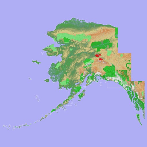
Scenic Map Alaska
Mark Granger
Explore 3D topo maps offline
View 3D topographic maps of offline with vector data. Navigate by car, boat, plane, or on foot. Access worldwide satellite maps online with automatic caching. Toggle between map types and zoom to any location.

Flight night time
Andrej Hyll
Calculate night flight time offline easily.
This offline application helps pilots calculate night flight time. The app uses algorithms for distance and sunrise/sunset calculations, with adjustable night definitions based on regulations.


Flight Time
Ganymed Stanek
Record and track elapsed hours
Logs block , true , and landings automatically using GPS. Displays elapsed times and ground speed during . Requires stall speed input to calculate data accurately.

Dashometer-Lite
Ian Ray
Track location, speed, and heading in real-time
Navigation displays real-time telemetry data including location, heading, altitude, speed, distance, and elapsed time. Users can customize display modes, units, and configurations by tapping or long-pressing values.

Terrafin Mobile
Terrafin Software
Satellite data for anglers divers researchers
The app provides subscribers with access to satellite data for fishing, diving, and research. Users can browse and download charts to their device for offline use, with features like waypoint marking and real-time vessel location display.


Cannes Travel Guide Offline
eTips LTD
Explore Cannes and Côte d’Azur offline.
The app provides an offline travel guide for Cannes and the Côte d’Azur. It features augmented reality, interactive maps, and daily itineraries to help users explore the region without an internet connection.

MARVLIS Beacon
Bradshaw Consulting Services, Inc
Track user location and send real-time coordinates
Track user location using GPS and wireless communications. Send real-time coordinates and user ID to the system. Enable situational awareness and emergency service deployment. Requires Central Authorization.


Sky-Map
Rolf Schade
Moving map navigation and flight planning.
The app displays the user's actual position on digital aviation charts. It offers flight planning, route saving, and calculation of distances, flight times, and fuel consumption.
How we rank alternatives
Apps are ranked by functional similarity, category fit, rating confidence, and popularity.