

Apps Like AHRS Utility for iPhone and iPad
Configure Levil devices and display data.
The app configures Levil devices and displays AHRS data. It shows graphical and numerical data from Levil AHRS devices, excluding iPad/iPhone internal gyros or GPS data.
AHRS Utility screenshots
Ranked alternatives
Showing 301–320 of 1,000 ranked alternatives.


C&O Companion
James Menzies
Information for Chesapeake Ohio Towpath Trips
The app provides information for trips along the Chesapeake and Ohio Towpath. It displays the user's current location and helps find amenities without a data connection.



Air Tracker for Qatar Airways
Fikret Urgan
Track flights, view models, check speeds
Track flights in real time with flight details, radar views, and global flight paths. View aircraft models, destinations, and speeds. Set alerts for specific flights and access historical flight data.


Pressure Altimeter
Lonnie Ganz
Barometric pressure to altitude conversion.
The app converts barometric pressure to altitude above sea level. It displays current elevation, cabin altitude, and vertical speed, and saves maximum and minimum altitudes.



Easy QTH Locator
Borys Buslovskyi
Locate QTH using GPS data
Displays QTH based on GPS, mobile network, or Wi-Fi coordinates. Shows Maidenhead grid squares for current location. Requires location services permission. Works offline.

Elevation For Real
homedatasheet.com, Inc.
Real-time elevation and ground data.
The app displays real-time elevation using the device's GPS receiver and geoid model. It also shows ground elevation from web services and includes a real-time map with spot elevation data.


C-FLY
俊 朱
Capture aerial moments, fly with , record
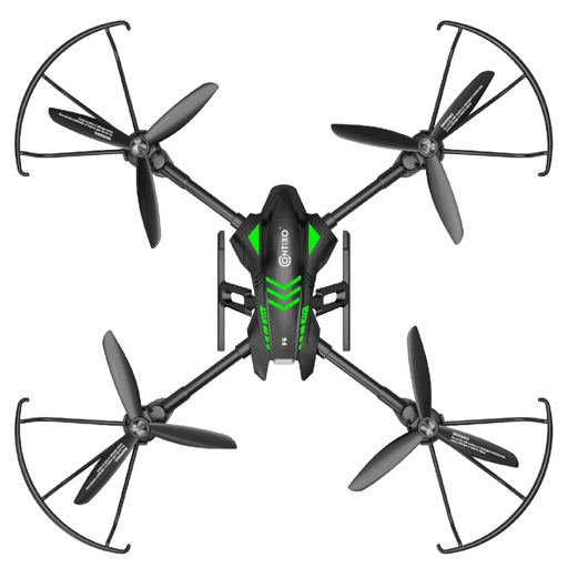
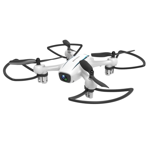
Control drone flight with one-key takeoff and landing. Adjust gimbal angles and shooting parameters in real time. Capture and share photos or videos instantly. Live broadcast flight views and plan routes with waypoints.

Adventures in the Air - Eagle Attack
Toccata Technologies Inc
Pilot, shoot, and fly skyward.
The app combines endless running with air combat shooting. Users pilot an airplane through obstacles, combatting enemies and bosses to achieve high scores and collect coins.

How we rank alternatives
Apps are ranked by functional similarity, category fit, rating confidence, and popularity.