

Apps Like Travel Altimeter & Elevation for iPhone and iPad
Track altitude changes with a barometer
Track changes using a barometer and set reference pressure and altitude. View real-time altitude and adjust landscapes based on time of day. Use compass for orientation during hiking and outdoor activities. Compare differences between two points.
Travel Altimeter & Elevation screenshots
Ranked alternatives
Showing 281–300 of 1,000 ranked alternatives.

My GPS Coordinates Lite
MYSTIC MOBILE APPS LLC
View in DMS, DDM, DD, and UTM
Display geographical in DMS, DDM, DD, and UTM formats simultaneously. Show altitude from GPS, network API, and barometer. Display GPS accuracy. Track position in real time.


Simply North
BusyBytes GmbH
Navigate with compass, location, altitude, and speed
Navigation displays true and magnetic , current location, altitude, and speed. Users can track movement and view detailed compass readings. Features a clean, intuitive interface with a modern flat design.

Sun n Moon for iPad
David Gibson
Sun and moon times anywhere.
The app calculates sunrise, sunset, moonrise, and moonset times for any location. It includes a moonphase calendar, animation, and a compass showing sun and moon positions.

Speedometer GPS- Speed Tracker
TECHISTIC LTD
Track , distance, and performance
Track , distance, and performance with real-time GPS data. Display in mph and km. Log trips and view historical records. Set alerts and monitor journey details. Sync data across devices for ongoing performance analysis.

Trail Run Project
Adventure Projects Inc.
Run with GPS routes and elevation profiles
Find runs with GPS routes, elevation profiles, and interactive maps. View photos and expert insights for each . Search for runs by location or area. Plan routes with detailed guidance and highlights. Sync with maps for offline navigation.

NP Maps
Delcartes LLC
Download and track your route
Download for national parks and USGS topographic regions for offline use. Access 150 NPS park and 60,000+ topographic . Use GPS navigation without internet connectivity. Save for later use in areas with no data service.

Compass Pro - Aircraft
LionsApp di Nallbati Elton
Track position with wind rose and coordinates
Displays wind rose and location details including name, latitude, longitude, and altitude in meters or feet. Saves position data for any global location. Requires location services to detect geographical position.

Dashometer-Lite
Ian Ray
Track location, speed, and heading in real-time
Navigation displays real-time telemetry data including location, heading, altitude, speed, distance, and elapsed time. Users can customize display modes, units, and configurations by tapping or long-pressing values.

GPS Locate
David Southgate
And view coordinates in real time
Displays current location and altitude. View coordinates in UTM, DMS, MGRS, and others. Access location within the , Apple Watch , or as a complication.


bergfex: Hiking & Tracking
bergfex GmbH
Track hikes, ski tours, and outdoor routes
Find hikes or ski tours tailored to your preferences. Create and save personalized routes using the route planner. Track outdoor activities with precise GPS navigation. Access detailed maps for the Alpine region.


Speedometer & Trip Logging
Hans Schneider
Track , distance, and altitude
Displays current , distance, direction, and altitude in MPH, KM/H, and KNOTS. Shows decimal values. Tracks top and average . Records and altitude data for the last few hours. Supports iPhone and iPad. Includes "speak " feature for audio feedback.

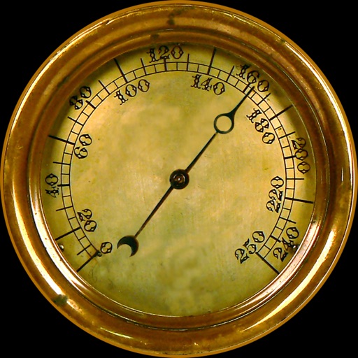
iGadget
Paul Manson
Navigate with compass and track altitude
Navigation provides altitude, barometric pressure, and compass readings. Measures humidity, rainfall, and temperature. Includes magnifying glass, metronome, ruler, and spirit level. Displays speed, vertical speed, and VU meter.

Topo Maps US
DC Cloud Apps, LLC
View topographic offline
View topographic of the United States with options for standard or hybrid map sources. Download for offline use and track current location on the map. Navigate using map features and explore terrain details for outdoor activities.
How we rank alternatives
Apps are ranked by functional similarity, category fit, rating confidence, and popularity.