

Apps Like Elevation - Altimeter Map for iPhone and iPad
View data by location
Determine using GPS, barometer, or location input. View data on interactive maps. Access real-time altitude readings. Compare changes across locations. Save and share measurements.
Elevation - Altimeter Map screenshots
Ranked alternatives
Showing 801–820 of 1,000 ranked alternatives.

Ze Speedometer
Misha Software Solutions, LLC
Track speed, altitude, and direction
Display speed in miles per hour or kilometers per hour. Show altitude and direction. Switch units by tapping the screen. Track speed for cars, trains, buses, bicycles, and other vehicles.




GPS Maps Camera
KRUTAGNA INFOTECH
Capture photos with GPS and map data
Capture photos with integrated map data and weather information. Adjust settings including grid, aspect ratio, and manual map options. Edit images with map overlays and share directly.
Scenic Map Grand Canyon
Mark Granger
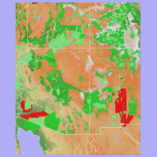
Explore landscapes in three dimensions.
The app provides 3D topographic maps for iPad and iPhone. Vector map data is contained within the app for offline use, supporting navigation in various environments.


Étoile d'Aï
Senten Sarl
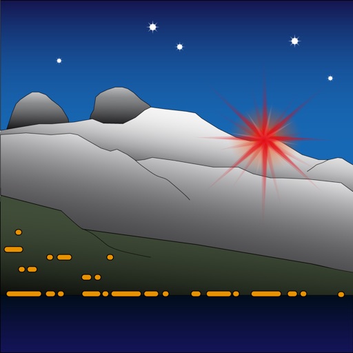
Modify landscape by changing light color.
The app allows users to modify the landscape by changing the color of the light. It represents Étoile d'Aï, a light located in Switzerland at an altitude of 2048 meters.


How we rank alternatives
Apps are ranked by functional similarity, category fit, rating confidence, and popularity.