Access real-time location data and choose from over 70 map layers for detailed boundary and land ownership info. View satellite, topographic, hybrid, and road maps. Set permissions and contact details for areas you visit.
Track vehicle and motorcycle locations using GPS. View fleet and driver information. Receive alerts and generate reports. Access real-time and updated data for accurate positioning control.
Check ski resort details, view digital trail maps, and access real-time weather updates. Retrieve snow forecasts and live mountain cam footage. Track skiing activity with GPS and save resort-specific information.
Create and save location-based DIGIPINs by moving the map to set a desired spot. Share DIGIPINs via quick links for Apple and Google Maps. View saved pins with addresses and shareable links.
View GPS tracking units from on your iPhone. Display unit list with current location and status. Tap a unit to see its location on a map. Access real-time tracking without logging into the website.
Track vehicle location in real time. Manage driver logs and compliance records. Analyze fleet performance with detailed reports. Set up alerts for vehicle status and maintenance needs. Export data for auditing and reporting purposes.
Find the nearest ORLEN car wash, select a washing program, pay, and start washing without leaving your car. Monitor washer occupancy via camera feed to avoid long lines.
The app provides access to Maxtrack GPS/GLONASS tracking system account functionality. It allows users to monitor transports and objects in real time, control mileage, and prevent unsanctioned routes.
The app allows users to digitize and divide real property into sub-areas. Users can record GPS locations, pick GPS locations for lines or areas, and use stakeout functions to approach points or move along boundaries.
The app offers a London Underground planner with current and planned statuses for multiple rail lines. It includes a Tube Map, a single line map, and a Google Maps feature for location.
Share location, track address, get precise details
Display exact address with a tap. Identify city and state instantly. Open location in maps apps. Share address via link or text. Track movement history and set location reminders.
Track vehicle location and view daily routes with replay functionality. Check stop durations and engine status. Block or unblock the engine remotely. Access historical position data and route details.
The app allows users to book bus tickets, check train schedules, and reserve hotel rooms. It also offers intercity express lines, ride-hailing services, and chartered car options for various travel needs.
Request a instantly using location data to send the order directly to the dispatch center. Receive real-time identifier and estimated arrival time. Save frequently used destinations for quick access. Track location and estimated time of arrival.
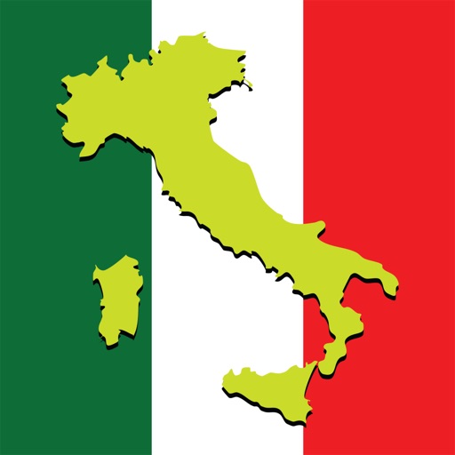
The app offers travel information for Italy, including maps, pictures, and reviews of various cities. It covers travel packages, train routes, tourism tips, flights, and food.
Use iPhone as a GPS receiver for desktop apps like Google Earth Pro. Send location and speed data via Bluetooth to FlooGoo FMA100 adapter. Connect to USB serial port on Windows, Mac, or Linux systems. No driver installation required.
Send emergency alerts with location maps to nearby officers. Share real-time GPS data to help responders locate users quickly. Request immediate assistance in critical situations.
The app allows users to search for travel plans that include JR tickets and accommodations. It offers over 2,000 lodging options near stations served by Shinkansen and limited express trains.
Track location and navigate back to a marked waypoint using directional guidance. Measure distance to the waypoint in meters. Save multiple waypoints for future reference. Share coordinates with others for group navigation.