The app provides GPS yardage for golf courses, including bunkers, hazards, tees, and greens. Users can track scores, strokes, putts, chips, sand shots, and penalties, with playing statistics available.
The app calculates Lufthansa miles based on flight class and stops. It stores flights, providing statistics on routes and miles flown, and displays approximate CO/2 consumption.
Sends GPS coordinates, speed, course, and heading via WiFi, Bluetooth, or USB using 0183 protocol. Transmits data at set intervals. Automatically reconnects after disconnection. Displays last sent coordinates.
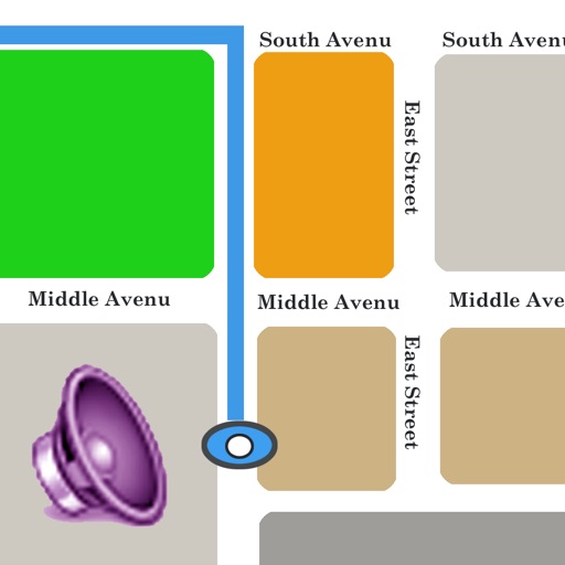
Track train routes with GPS-guided audio commentary and real-time map positioning. View photographs and text at waypoints every mile. Switch to manual mode for off-train navigation or adjust playback.
Track real-time bus arrivals and locations. Search stops and routes with GPS integration. Save favorite stops and routes with memo notes. View full route paths and widget functionality. Requires location access for stop searches.
The app features a futuristic commodity trading game where users travel a global tube connecting 117 cities across 20 tube lines. Players manage cash reserves and trade commodities in various sectors.
View trip details, read reviews, and book destinations. Access mobile tickets for activities, view directions, and skip lines. Sync with profiles for instant access to bookings and itinerary information.
Track location using GPS or external receiver. Log movement trails in background. View maps with Apple Maps and Google Maps. Convert and view GPS data. Requires GPS-enabled device and compatible external receiver.
The app provides a map for Tokyo Disneyland in Japan. Users can find attractions, restaurants, and shows, with directions available via GPS and compass.
The app allows users to locate vehicles with Núcleo Smart GPS installed. Users can view vehicle locations, review route history, immobilize vehicles, and receive reports on speed and mileage.
Track vehicles using GPS for real-time location monitoring and data analysis. Set alerts for unauthorized movements. Optimize routes to reduce fuel consumption and unnecessary travel.
The app records measurement data including distance, time, and altitude. Users can view recorded data on maps, create notes, and export information in various formats.
The app provides real-time updates on deliveries, including errors and location tracking via GPS. It also records customer signatures and allows drivers to photograph damaged deliveries or property.
The app generates contour maps from elevation data and computes volumes based on contour regions. It allows users to digitize points, lines, and areas over a map and provides stakeout functions for precise location finding.
The app provides information on routes and schedules for Guaguas Municipales lines. Users can see bus arrival times, plan routes, and find nearby stops.
Displays speed in knots, km/h, mph, or m/s. Shows current coordinates and altitude. Switch units easily. routes and save with position, distance, and speed data. Logs stored as GeoRSS in iCloud for cross-device access.
Monitor speed and distance with real-time GPS tracking. Switch between car and bike cyclometer. View average and max speed. Adjust units to mph or km/h. Check GPS accuracy and distance precision. Track time elapsed and altitude.
Tracks driving behavior by detecting start and stop events using phone sensors. Measures vehicle dynamics and logs trips in the background. Uses GPS for location data and low-power sensing to minimize battery drain.
The app offers multiple ways to speak location data, including timer-based, gesture-based, and device-shaking triggers. Users can customize which location details are spoken and the order in which they are presented.