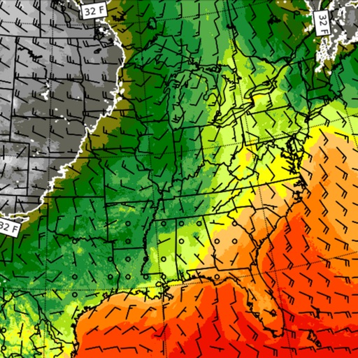
Access real-time weather and ocean data using GRIB files. Input sailing boat polar data and minimum engine speed for route planning. View forecasts, track storm movements, and analyze wind and wave conditions.
by APP4NAV★ 0.00 ratingsWeather$39.99Data updated 2026-09-08
The app provides professional marine navigation using S-57 chart data and Automatic Identification System (AIS). It offers features like positioning, chart visualization, and past track display for planning trips or navigating at sea.
Access real-time forecasts for recreational and coastal areas. View severe weather updates and tide information. See rain radar every 7.5 minutes and 3-day rainfall forecasts with wind barbs. Check surface pressure maps.
Provides maps for navigation without internet connection. Displays detailed vector maps with continuous updates. Helps avoid roaming charges by using local data. Allows zooming at any level for precise location tracking.
The app provides graphical depictions of weather trends including temperature, atmospheric pressure, humidity, wind speed, and cloud cover. Users can view detailed summaries for the next 48 hours and temperature changes for 6 days.