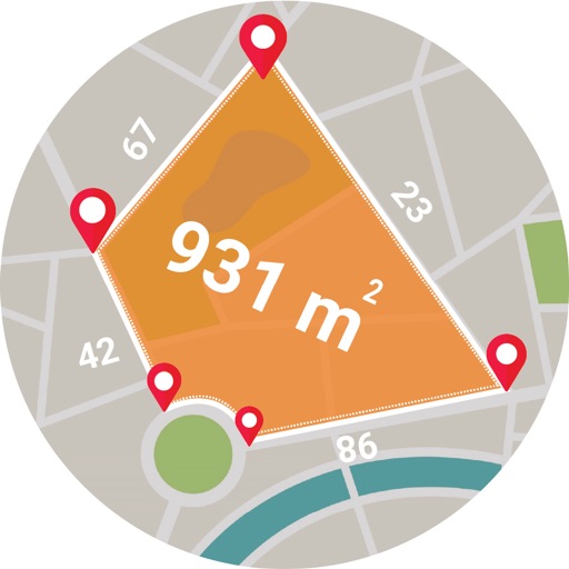
Calculates distances between map points and areas of non-overlapping polygons. Users can switch between metric and imperial units. Coordinates are displayed in decimal or degrees, minutes, and seconds.
by Applorium Ltd★ 4.42,155 ratingsUtilitiesFreeData updated 2026-09-08
Save locations with exact GPS coordinates and altitude. View real-time weather and wind data. Use the compass for accurate direction tracking. Organize saved points and share coordinates directly.
Lets users overlay photos on Apple Maps for real-time navigation. Photos rotate and scale with movement. Users can track GPS paths, tag locations, and mark waypoints.
Measure and areas by drawing paths or closing loops. Switch between metric and imperial units. Undo drawings as needed. View standard or satellite maps. Export measurements as KML files for use in Google Earth and other mapping apps.
Distances and heights using the camera. Calculate surface area and perimeter. Generate 3D models from photos. Use a bubble level and slopes. Perform various geometric calculations with precise camera-based measurements.
Measure distances between locations by pinning points on a map. Track real-time distance using GPS with a timer. Switch between metric and imperial units for distance measurements.
Set location during or after installation using distance and bearing. Define allowed area as a circle or custom shape with angles and distances. Monitor movement and receive alerts when boundaries are exceeded.
GPS tracks current speed, distance, and altitude. Displays average and maximum speed. Shows speed limits in real time. Supports mph, km/h, and knots. Measures travel time and battery level. Works offline.
Distances with millimeter precision using or TrueDepth camera. Tap to place markers and view real-time measurements. Save and share measurement data. Export as PDF or image.
Scan QR codes and barcodes instantly using the camera. Retrieve product details, pricing, and website links automatically. Share scanned data via text, email, or social media. Edit and save scanned information for later reference.
Plan and track motorbike routes with customizable options for paved and unpaved paths. Share adventures and access 200,000 public routes. Log ride details and view maps with turn-by-turn .
Track routes, find waypoints, and navigate offline
Navigate outdoors with offline GPS maps and real-time augmented reality. Track waypoints and custom locations. Use a gyrocompass, speedometer, altimeter, and inclinometer. Find celestial bodies and measure angles.
Calculate -related conversions, fuel consumption, and navigation metrics. Perform arithmetic operations and unit conversions. Track time, distance, and speed. Sync with Apple Watch for real-time updates.
Create animated stickers and for iMessage. Send colorful, interactive to friends. Unlock premium features with a subscription. Customize stickers and for pranks and surprises. Share directly within iMessage chats.
Calculate areas, plots, and distances using GPS technology. Draw and map regions on a map. Measure perimeter and of custom shapes. Save and share measurement data. Export maps in various formats.
Access detailed nautical charts with C-MAP® for route planning and GPS navigation. View weather data and marine traffic. Set personal waypoints and record tracks. Explore thousands of pre-loaded points of interest.
View and navigate updated -MAP charts worldwide. Explore, plan, and save Points of Interest and Routes. Use Autorouting to find optimal paths. Access chart layers and track progress. Share routes and points with others.