Apps Like Planimeter Pro for map measure for iPhone and iPad
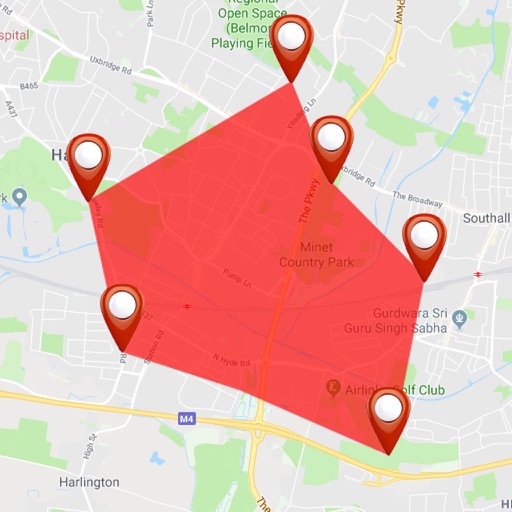
Distance and area on maps
Distances and areas on satellite maps. Select objects like lawns, roads, and buildings. Save and share measurements. Export data in various formats. Sync with other apps for project planning.
by 忠 张★ 4.3921 ratingsUtilities$3.99Data updated 2026-10-26
The app measures surrounding sound levels and plots data in real time. Users can customize measurement duration and frequency, set alert values, and view measurements on a map with location information.
Access real-time location data and choose from over 70 map layers for detailed boundary and land ownership info. View satellite, topographic, hybrid, and road maps. Set permissions and contact details for areas you visit.
Calculate standard deviation, probable error, and error of the mean for surveying and civil measurements. Switch between imperial and metric units. Perform calculations for series of observations and single or combined accidental errors.
The app offers a measuring tool for on-screen objects, showing dimensions as the cursor moves. It allows users to find distances between objects and copy measurements with customizable shortcuts.
Record driving routes with GPS tracking. View speed, distance, duration, and average speed. Analyze maximum speed, acceleration times, altitude changes, and stops. Display data in charts for performance review.