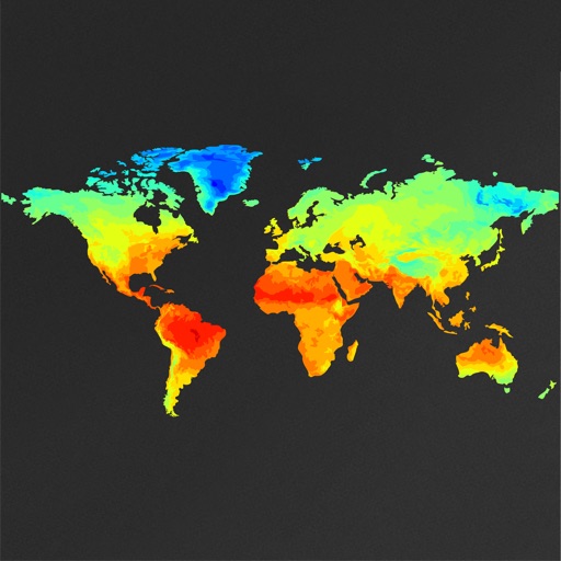
View global weather data with interactive map panning and zooming. Switch between weather layers for current and forecasted conditions. Track detailed weather changes up to 0.25 degrees on land or sea.
by Michal Frankowski★ 4.7538 ratingsWeather$2.99Data updated 2026-11-06
Provides real-time air data for Georgia in English and . Displays pollutant levels, weather conditions, and interactive maps. Supports dark mode and additional features.
View marine with satellite and terrain overlays. Access local weather forecasts. Use NOAA raster for navigation. Track position and route. Share maps and waypoints. Work offline without mobile coverage.