
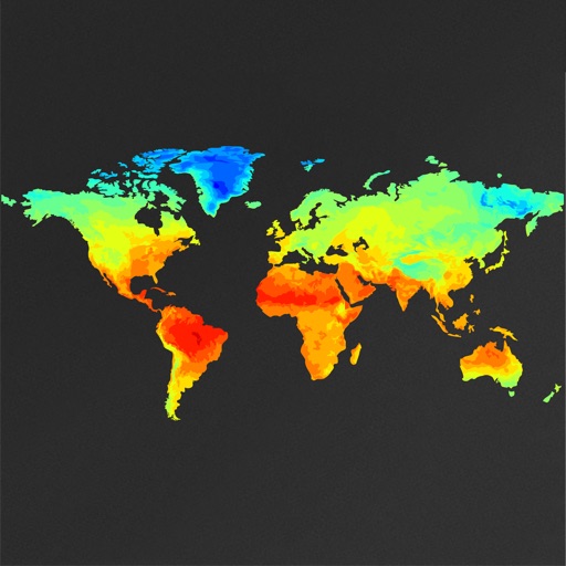
Apps Like WeatherMap+ for iPhone and iPad
Pan and zoom global weather maps
View global weather data with interactive map panning and zooming. Switch between weather layers for current and forecasted conditions. Track detailed weather changes up to 0.25 degrees on land or sea.
WeatherMap+ screenshots
Ranked alternatives
Showing 661–680 of 1,000 ranked alternatives.

Weather4D Lite
APP4NAV
View weather data in 3D
The app displays atmospheric and oceanic data in GRIB format using a 3D HD interface. Users can view animated weather data, select specific models, and download relevant characteristics for a holistic view of sea conditions.

Local Meteo - weather live
Sergii Koval
Local weather conditions at a glance.
The app displays local weather conditions including temperature, wind, and precipitation. It provides hourly and daily forecasts, severe weather alerts, and city-specific intelligence like AQI and UV index.

TideWatch: Tides & Weather
Technology One Inc
View tides and weather forecasts
View current tides and weather data for selected locations. Check 10-day tide predictions. Customize background with personal photos. Data available for US tide locations only.


Sh-tstorm
Wilf Horsfall
Track weather and forecast alerts
Provides hyper-local and hyper-accurate weather forecasts using data from global and local weather models. Displays current conditions, precipitation chances, and temperature. Includes a humorous tone with explicit language.


BEM
Sunitec Enterprise Co., LTD
Detect UV radiation instantly anywhere.
The app detects UV (ultraviolet) ray radiation in various locations. It allows users to view UV history, local weather forecasts, and share environmental data like temperature, humidity, and UV levels.
Dew Point Calc
Alfred L Poy
Calculate humidity or dew point easily.
The app calculates relative humidity or dew point based on air temperature. Users can determine the dry bulb temperature, relative humidity percentage, or dew point temperature by inputting two known values.


Great Lakes HD Nautical Charts
Flytomap
Navigate with marine and outdoor maps
Navigate with offline marine, lake, and outdoor maps. Access worldwide satellite and terrain overlays. View local weather forecasts. Use NOAA, USGS, and DRG data for detailed charting.


Water Map Live
Martijn de Meulder
Navigate waterways and track boating routes
Navigate waterways in the Netherlands, Belgium, and Germany with detailed charts showing fairways, buoys, and traffic signs. Access bridge and lock information, including opening times and contact details.
How we rank alternatives
Apps are ranked by functional similarity, category fit, rating confidence, and popularity.