Displays real-time device orientation relative to magnetic fields. Switch between true and magnetic North. Shows location coordinates, course, speed, and altitude. Tracks movement and provides directional data.
by Elen Bekzadyan★ 5.01 ratingsNavigationFreeData updated 2026-09-08
Distances, areas, and routes on maps using standard, satellite, terrain, and hybrid views. Calculate total area between points or along a route. Display coordinates in UTM and MGRS formats.
Calculate routes and determine points on Rhumb Line, Great Circle, and WGS84. Compute average speed and estimated time of arrival. Plan routes with manual waypoints and create waypoint routes. Support composite sailing calculations.
The app provides a flashlight with configurable lights, sound effects, a vibration massager, and file storage accessible via a web browser. It also includes outdoor tools like a speedometer, compass, level, and pedometer.
Uses a device's magnetic sensor to find objects and measure magnetic field strength in microteslas. Display real-time readings with a live dial and track changes using a history graph.
The app shows and tells users the nearest contacts from their address book. It displays contacts on a map with distance and driving time, and provides driving directions.
Navigate locations with turn-by-turn directions and map views. Search for points of interest and save favorite spots. Share routes with others and receive real-time location updates. Track progress and explore nearby landmarks.
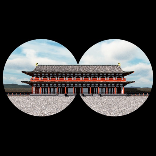
The app provides a time travel experience in Kyoto, recreating the Imperial Court Compound of the Heian Era. Users can explore 360-degree scenes of ancient Kyoto based on their location and orientation, with detailed descriptions of buildings.