Displays real-time device orientation relative to magnetic fields. Switch between true and magnetic North. Shows location coordinates, course, speed, and altitude. Tracks movement and provides directional data.
by Elen Bekzadyan★ 5.01 ratingsNavigationFreeData updated 2026-09-08
Determine the bearing of objects by pointing the iPhone at them. A vertical line shows the bearing. Tap to switch between true north and magnetic north. Uses built-in sensors for orientation without internet.
Measure in real time using GPS and sensor data with less than 3-meter error. Track air pressure and oxygen concentration. Customize themes for personalized backgrounds.
The app calculates sunrise, sunset, moonrise, and moonset times for any location. It displays moon phases and shows the sun and moon positions on a compass.
Display the direction and distance to the Kaaba using a interface. Tap the Adhan button to trigger a sound. Adjust device orientation to align the Kaaba indicator for navigation.
The app visualizes the sun's path throughout the day or year. It predicts and plans for twilight times, solstices, and equinoxes, providing sun shadow information.
Navigate with precision and explore trails efficiently
Navigate with multiple styles, including analog and digital interfaces. Set and track waypoints, view elevation data, and receive turn-by-turn guidance. Sync with GPS devices and share route maps.
OPTIMIZE IT BILISIM VE YAZILIM TEKNOLOJILERI LIMITED SIRKETI
Find studs, check levels, measure angles
Detect metal objects in walls using five presets for different materials. Receive real-time feedback via visual, sound, and haptic alerts. Measure angles and check levels with an accurate bubble level. Includes magnetic for precise detection.
The app calculates the shortest distance or distance with a constant bearing between two locations. Users can select current location, enter coordinates, or choose from a database.
Create designs with unlimited styling options. Choose from preset themes or save personal layouts. Add and resize pointers and stickers freely. Switch between magnetic and true North settings.
The app calculates sunrise, sunset, moonrise, and moonset times for any location. It includes a moonphase calendar, animation, and a compass showing sun and moon positions.
Track real-time speed and power using a digital . Monitor maximum and average speed during trips. Use a to determine direction, view altitude, and track coordinates.
Calculate trajectories for firearms using precise ballistics data. Input and save firearm and ammunition details for quick access. Integrate with Kestrel and WeatherFlow devices via Bluetooth for atmospheric data.
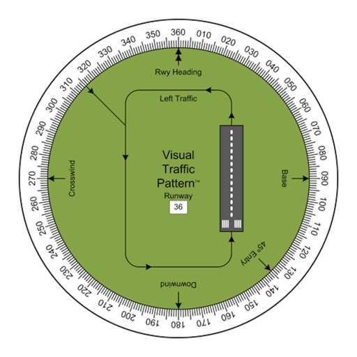
Allows pilots to view runway patterns with finger rotation. Display includes left and right patterns, crosswind, downwind, base, and 45-degree entry headings. Magnetic runway orientation matches aircraft heading for approach visualization.
Track real-time and share it with friends. Copy coordinates and perform actions on . land area using GPS and calculation tools. Find routes with distance and direction calculations.
Track prayer times and receive Azan alerts for Fajr, Dhuhur, Asr, Maghrib, Isha, and sunrise. Set customizable tasbih reminders every 5 minutes, hourly, or daily. Create personalized tasbih target challenges with custom goals.