The app offers photo-supported route guides and interactive maps for major UK mountains. It includes kit advice, navigation tuition, emergency awareness, and articles on mountain-specific topics.
by Mountain Steps UK Ltd★ 0.00 ratingsNavigation$0.99Data updated 2026-09-21
Plan routes using detailed topographic and trail data. View points of interest for rest areas, food, and accommodations. Track progress with real-time navigation and route logging. Set waypoints and save custom trails for future trips.
Track workouts and monitor progress with custom training plans. Access sport-specific programs for surfing, skiing, basketball, and more. Follow resistance training, weight-loss, and meditation routines. View performance metrics and set goals.
Access broadcasts of Valley activities. View weather forecasts and mountain conditions. Discover local business highlights. Receive updates on events and community news. Share content with friends. Stay informed about happenings in .
Explore trails, find routes, and navigate outdoors
Navigate with interactive walking maps to explore parks, cities, and scenic routes. Discover curated photo-led trails and circular green routes. Filter by difficulty, accessibility, and activity type.
Access real estate listings in Cape Coral, Florida. View new listings, open houses, and recently sold . Filter and save searches for personalized results. Receive notifications on saved listings and updates from the MLS.
Download for use. Navigate with detailed street and topographic . View points of interest, trails, and elevation data. Search locations and save favorites. Share and routes with others. Adjust map settings for different activities.
Plan and track ski or snowboard runs with GPS navigation and 3D resort . View detailed trail information and elevation data. Record runs and analyze speed, distance, and time. Share routes and track progress over multiple sessions.
View upcoming socials, rides, and trailwork events. Indicate attendance interest. Receive notifications for event updates. Access trail system information and manage event participation.
Plays audio commentary automatically as you drive, highlighting points of interest with stories, tips, and directions. Includes 135+ audio markers along scenic routes. Provides driving instructions and recommendations for activities and attractions.
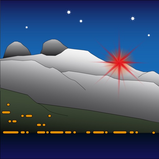
The app allows users to modify the landscape by changing the color of the light. It represents Étoile d'Aï, a light located in Switzerland at an altitude of 2048 meters.
Leave messages at specific locations for others to read when nearby. Create custom phrases using a phrase builder. Share location-based notes with nearby users. View and interact with messages left by others in the same area.