

Apps Like PATA-PATA TimeTable for iPhone and iPad
Load and display train schedules
View schedules from Split-flap Display and Next Train formats. Load files via iTunes or Dropbox. Display real-time clock alongside schedule data. Adjust display settings for clarity and customization.
PATA-PATA TimeTable screenshots
Ranked alternatives
Showing 541–560 of 1,000 ranked alternatives.

HouseNumber
Pit Schneider
View building numbers with AR camera
View building numbers using augmented reality with an iPhone camera. Display numbers clearly in various lighting conditions. Identify buildings without visible numbers or in dark environments.
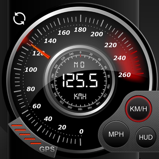
Speedo GPS Speed Tracker, Car Speedometer, Cycle Computer, Trip Computer, Route Tracking, HUD
Kevin Siml
Track , distance, and
Record data including , average , distance, altitude, and elapsed time. View real-time GPS tracking with longitude and latitude. Monitor statistics and save history. Sync with devices for offline navigation.

JFBoston
Boston Japan Community Hub Inc.
Explore festival events and locations
Navigate Boston's Japan Festival with real-time event updates, detailed schedules, and a food guide highlighting local Japanese cuisine options. Locate festival activities, view performer schedules, and find nearby food vendors.


Carbyte
OBD Solutions LLC
Pair device and
Control DFM and Auto Start/Stop features. View and clear OBD-II and GM-enhanced trouble codes. Manage disabler functions through the adapter paired with the .

FeatureMapper
FTLapps LLC
Collect GPS notes and export as KML
Collect GPS coordinates as KML Placemarks with location, name, comment, and color. View coordinates in decimal, DMS, and UTM formats. Import and export data as KML files via email. Add Placemarks by tapping "+". Record locations automatically.

Weather4D Routing & Navigation
APP4NAV
Navigate with real-time weather data
Weather provides real-time data including SOG, COG, VMC, HDG, TWS, AWS, ETAs, ETWs, and AIS. Integrates weather forecasts and calculations. Stores charts for offline use. Switches to night mode after sunset. Shares data with other devices via wifi.


Radius Maps
Shanghai Truewhoo Network Technology Co., Ltd
Explore locations within your defined
Visualize coverage from any location on . Combine multiple radii for layered views. Check distances between points. Share data with others. Adjust size and color for clarity.


Garmin TXi Trainer
Digital Cyclone
Explore flight displays and engine systems
Learn to navigate flight displays and engine systems through simulated touch and bezel interactions. Explore HSI Map zoom gestures and split-screen PFD/MFD modes. Familiarize with interface elements before actual use.


Speedometer X GPS speedometer
Ruslan Kimaev
Track speed, distance, and average speed
Measure speed using GPS with a digital , head-up display projection, and tracking of average speed, distance, and travel time. Log data offline, adjust settings, and access a user-friendly interface for one-handed use.


Aircrew Logbook
7ition Limited
Log flights, track hours, secure records
Record flight details including time, aircraft type, and route. Log weather conditions and pilot ratings. Export entries in PDF format. Sync data across devices. Set reminders for maintenance checks and flight reviews.


How we rank alternatives
Apps are ranked by functional similarity, category fit, rating confidence, and popularity.