View and track assets in real time across devices. Access live video and playback recordings. Locate assets using built-in GPS. Support worldwide cellular networks for reliable connectivity. Monitor asset utilization to reduce operational costs.
The app provides a CAP repeater for GPS navigation and a programmable speed table with multiple stages. It offers control for co-pilots with stage data, distance traveled, average changes, and adjustments on the main screen.
Track driving routes, speed, and real-time stats with Apple Maps integration. Set speed limits and receive alerts. View trip summaries and performance metrics. Sync data across devices for consistent monitoring.
LogGPS records GPS data including coordinates, altitude, speed, and accuracy when the save button is pressed. Users can add notes, edit or clear them between saves. Data is stored with timestamps and can be reviewed later.
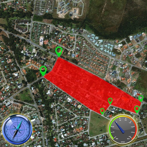
Track GPS devices in real time with live updates. Set geofences and receive motion detection alerts. Access Streetview for location details. View device history and manage settings remotely.
The app visualizes magnetism in three dimensions using the iPhone's magnetometer. It can be used to explore magnetic fields, detect metal, and estimate north-south position without GPS.
Calculate Course to Steer and Speed over Ground using heading, boat speed, current set, and drift. Input Magnetic Variation for True and Magnetic compass readings. Visualize heading, current vector, and course on a 360º compass.
Track vehicle locations in real time with live GPS updates. Monitor speed, direction, and vehicle status. Review past routes, view exact paths, and analyze stops made.
Track progress through a roadbook with symbols. Display current track totals and average speed over time or distance. Monitor distance and speed in kilometers or miles.