

Apps Like FlyBy Nav for iPhone and iPad
Flight planning made simple for pilots.
The app displays track, heading, distance, ground speed, time enroute, ETA, and fuel burn on one screen. It includes METAR and TAF weather access and 55,000 airports and navaids offline.
FlyBy Nav screenshots
Ranked alternatives
Showing 341–360 of 1,000 ranked alternatives.

Navigation Marine PRO
Andrea Bisegna
Track position and mark waypoints
Track position and course over ground. Mark and edit waypoints. Measure distance in nautical miles and meters. Calculate course to waypoint. Display speed in knots, mph, or km/h.

TorqTrac
Torqeedo GmbH
Smartphone becomes an on-board computer.
The app displays current speed, power, and distance traveled. It shows remaining range on a map and allows for navigation with waypoints and trip logging.

iPreFlight Genesis
Aircraft Performance Group, LLC
Integrates flight planning and performance data.
The app integrates flight planning, takeoff/landing performance, and weight and balance requirements. It calculates fuel needed using operational data and forecast weather, including reserves and alternates.

Power & Sail NZ BOI
Sail South Pacific Ltd.
Navigate anchorages and waypoints offline
Navigate safely in New Zealand's Bay of Islands waters offline. Access entry points, waypoints, and detailed anchorage information including 40+ locations with photos, videos, and activities. Find facilities, marinas, boat ramps, and dive fills.

Power & Sail NZ
Sail South Pacific Ltd.
Navigate routes and waypoints offline
Navigate New Zealand waters safely with offline access to detailed routes and waypoints. View anchorage information and route details. Customize map layers to manage displayed data. Mark and save waypoints for future reference.


Augport: Airport Finder HUD
Toonsy Net
Find airports with essential data.
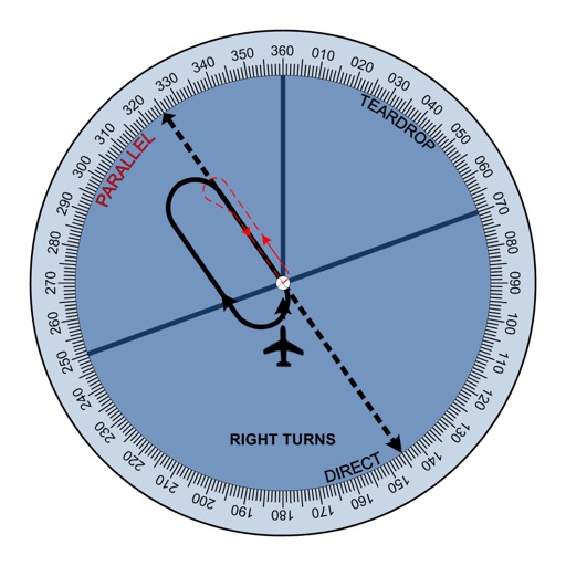
The app provides a heads-up display of airports and essential information, including distance, bearing, elevation, and runway length. Users can filter results for paved runways over 10,000 feet.

i-Boating: Canada & USA - Marine / Nautical Navigation Charts for fishing & sailing
Bist LLC
Navigate with voice prompts and chart support
Access vector and raster for . Create or import GPX/KML routes. Use voice prompts for route guidance. View tide and current predictions. Rotate with text remaining upright. Supports chart course orientation.

Jax GO
Passio Technologies, Inc
Track bus locations and ETA with ease
Track bus locations, routes, and estimated arrival times with real-time updates. View grouped stop names and ETA details for clearer navigation. Submit feedback on ETA accuracy to improve service.

No Roads
i3 Product Development, Inc.
Map trails, record tracks, explore offline
Navigate off-road trails by dropping waypoints and recording tracks. Explore curated trails and points of interest. Receive real-time hazard alerts and trail conditions. Download maps for offline use. Access detailed weather and elevation data.


Fishing Maps by Fish Fathom
BOATGLIDER, LLC
Find with AI-powered forecasts and waypoints
Search for spots using natural language queries. Get confidence-scored recommendations for locations based on weather and historical data. View NOAA waypoints with 7-day forecasts and weather predictions.

SunFlight
Michael Gehringer
Sunrise and sunset times during flight.
The app calculates sunrise and sunset times during flight. It manages timings for prayers and fasting, providing predictions along the shortest route corrected by flight altitude.


Flight Ops
Hubert GIRAUD
Calculate data with precise parameters
Calculate distance, time, and fuel consumption using parameters like Mach number, TAS, ISA deviation, and wind components. Create and manage aircraft profiles with customizable fuel usage based on distance flown.


TBM Performance
POH Performance L.L.C.
Calculate flight and procedures
Calculates metrics for flight planning, including takeoff, landing, climb, cruise, descent, and emergency procedures.
How we rank alternatives
Apps are ranked by functional similarity, category fit, rating confidence, and popularity.