Apps Like StarTracker - Mobile SkyMap for iPhone and iPad
See stars, constellations, and planets.
The app displays stars, constellations, and deep sky objects in real-time using the device's sensors. It includes over 8000 stars, 88 constellations, and 100+ deep sky objects with offline data and a time machine feature.
by 身吉 潘★ 4.7159 ratingsReference$2.99Data updated 2026-10-26
View historical imagery from specific dates to observe changes in urban and natural environments. Compare current and past views using Google View and Apple Look Around. Access world imagery basemaps for detailed geographic analysis.
Customize light effects with unique features and options.
The app offers a range of customizable lighting effects beyond standard white light. It includes features like strobe modes and color customization for various uses.
Explore personality traits and compatibility through AI-generated insights. Answer questions to reveal potential soulmates. View visual stories and interpretations of connections. Share results and reflect on personal growth.
Find stargazing locations based on distance, sky quality, and observation type. Check horizon clearance, parking space, and power availability. Plan trips with detailed location details and accessibility options.
Navigation allows users to save locations using the red cross on a map. Users can retrieve saved locations by following a red arrow in Augmented Reality.
Read the Bible with access to deuterocanonical books. Explore verse-by-verse explanations based on Orthodox teachings. View scripture in multiple languages. Search for specific verses or keywords. Save favorite passages for later reference.
View daily, weekly, monthly, and yearly horoscopes for all zodiac signs. Get tarot card readings. Track moon and solar calendars. Receive astrological insights based on birth details. Set reminders for updates. Share readings with friends.
View the positions of the Sun, Moon, and planets on an intuitive sky grid. Slide a time bar to forecast celestial appearances. Navigate without augmented reality or motion tracking.
Navigate with precision and explore trails efficiently
Navigate with multiple styles, including analog and digital interfaces. Set and track waypoints, view elevation data, and receive turn-by-turn guidance. Sync with GPS devices and share route maps.
Display speed limits and alert for overspeeding. Show speed camera locations and distance. Provide average and maximum speed tracking. Include odometer and unit selection for KMH/MPH. Display current road name, weather conditions, and temperature.
Find hidden objects within detailed images and solve puzzles to progress. Unlock new levels regularly. Invite friends to compete and earn trophies for completing challenges. Track progress and compare scores with others.
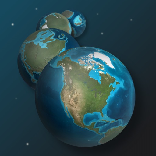
Explore Earth's geological history by visualizing continents, oceans, and climate changes over billions of years. Adjust time scales to view past landscapes, track sea level shifts, and observe planetary transformations.