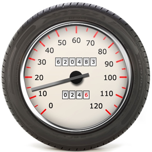
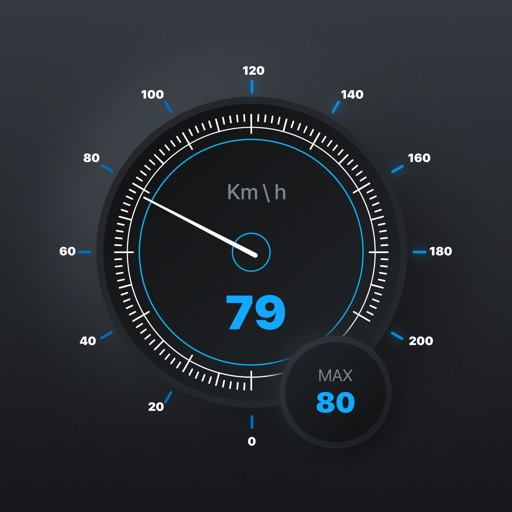
The app functions as a speedometer and accelerometer, displaying speed ranges with background colors. Users can toggle between mph and km/h and enlarge the accelerator display.
by Piet Jonas★ 3.02 ratingsNavigation$0.99Data updated 2026-10-05
Track routes, find waypoints, and navigate offline
Navigate outdoors with offline GPS maps and real-time augmented reality. Track waypoints and custom locations. Use a gyrocompass, speedometer, altimeter, and inclinometer. Find celestial bodies and measure angles.
The app provides continuous audible monitoring of the user's current speed. It tracks speed using the iPhone's GPS and plays associated sound effects and changes color when speed enters defined ranges.
The app calculates speedometer error based on different tire dimensions. It can identify tire sizes that minimize speedometer error when using non-manufacturer recommended wheel diameters.
Navigate with real-time location details including , coordinates, speed, altitude, and compass. View an orientation-focused map that expands to full screen. Tap and hold to search for addresses or coordinates. Share location instantly via tap.
Track speed, distance, elevation, and weather in real time. View travel time estimates. Access a Heads Up Display for quick information. Monitor trip details and receive alerts for speed limits and road conditions.
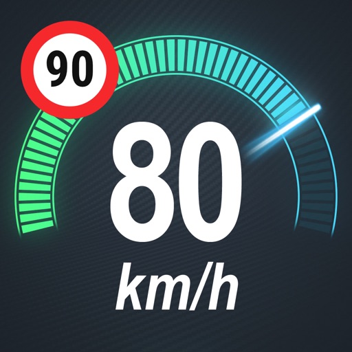
Display speed limits and alert for overspeeding. Show speed camera locations and distance. Provide average and maximum speed tracking. Include odometer and unit selection for KMH/MPH. Display current road name, weather conditions, and temperature.
Track and distance with real-time GPS. Log trips and view detailed statistics. Use drag meter for performance analysis. Monitor odometer and fuel efficiency. Access advanced HUD display for driving insights.
Plan, pay, and ride with real-time updates and pass activation. Purchase single rides, day passes, or 30-day passes. View color-coded passes, scan larger QR codes, and receive in- notifications for bus schedule changes.
Share real-time location with contacts via phone number or email. View others' locations from any web-enabled device without needing an . Request ' locations or share your own for tracking.
Displays real-time , average , and maximum with unit options. Provides sensor data for weather, altitude, and device orientation. Offers customizable dashboards and waveform charts. Allows saving and exporting historical data in CSV format.
Track speed, distance, altitude, and heading using GPS. View latitude and longitude coordinates. Monitor sunrise and sunset times. Record acceleration data. Save journey logs for later review. Share trip details via email or social media.
View , speedometer, and in one screen. Access big icons for easy navigation. Control playback and adjust volume. Display real-time speed and trip information. Sync with Bluetooth devices for hands-free calling.