Track outdoor activities like hiking, biking, walking, and running with GPS. Save and navigate to waypoints. Store favorite destinations. View activity logs and maps. Share routes and track progress.
by David Morneault★ 4.717,563 ratingsNavigationFreeData updated 2026-09-08
The app displays vehicle status and position on a map, providing live notifications. Users can view historical tracks, run activity reports, and find nearby vehicles.
The app records trips and displays tracks, position, and live information like speed and altitude. It measures distances, surface areas, and perimeters by placing points on the map.
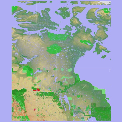
The app provides a 3D topographical map of Western Canada. Map data downloads to the device for use without an internet connection, allowing users to view terrain features as small as ten meters.
The app presents a 3D topographic map of Eastern Canada. Users can download map data for use without an internet connection, suitable for various travel methods.
The app provides GPS-based navigation and sailing assistance. It displays heeling, racing rules, and navigation data, with integrated Google Maps and a trip recorder.