

Apps Like AIS Radar for iPhone and iPad
Marine AIS data over WiFi
The app displays AIS data from marine transponders or receivers over WiFi. It provides a radar-like view of targets with course and speed, computes closest point of approach, and offers selectable display ranges.
AIS Radar screenshots
Ranked alternatives
Showing 281–300 of 1,000 ranked alternatives.

Rain Radar Australia
VERVE TECHNOLOGIES PTY. LTD.
Rain and wind radar data displayed.
The app provides up-to-the-minute rain and wind radar data with full-screen mode and landscape support. It offers pinch and pan zooming, a selected list, GPS location, and a list of nearest radars.



GUNR - Reloading & Shooting
SPAZA DOT TECH (PTY) LTD
Log gun data and track sessions
Track activities with detailed logging of weather, shot velocities, and targets. Add guns and organize data in one place. Plot chronograph speeds on graphs to identify accuracy nodes. Save load recipes for future use.


3D SKill Board
Bowsport Software Solutions GmbH
Track scores, manage archers, reuse events
Enter and manage archery scores for individual archers. Track current scores in real time. Store and synchronize results across participants. Input archery courses and targets once for reuse.


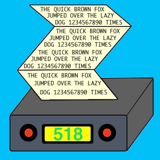
NAVTEX Pad
Black Cat Systems
View marine weather transmissions on iPhone.
The app displays NAVTEX and Radio Teletype (RTTY) marine weather transmissions. Users can view messages without a dedicated receiver and save or transfer received text.

My Tasbeeh App: Dhikr Counter
MyUmmahApps Ltd
Count tasbeehs and track progress
Perform with a that auto-switches between tasbeehs after targets. Set daily adhkar reminders and automatic resets. Save progress across sessions. Choose between dark and light modes.

Seawatch24 Marine Traffic AIS
Brian Bach Mortensen
Track ships in real time and view
Track real-time vessel movements and access detailed maritime data. Search for ships by name, MMSI, or IMO. View ship details, photos, and voyage information. Customize maps with overlays to identify ports, shipping lanes, and navigation markers.

SatFinder Pro HD Dish Pointer
Yuriy Kvasha
Find satellites, point device, view signal
PRO HD helps users locate satellites by pointing their device skyward. It displays available satellites and their parameters. Users can sort satellites by name or frequency. Search functionality allows filtering by channel, radio, or provider.

The Location App
Ferdinand Rios
Display data on a map
Display current with GPS coordinates, closest address, What3Words identifier, and Google Plus Code. Tap data to share via text message, email, or social media.


How we rank alternatives
Apps are ranked by functional similarity, category fit, rating confidence, and popularity.