Monitor rainfall with real-time radar maps and daily totals. Set alerts for nearby . Track historical rainfall data by day, week, month, or year. View precipitation insights and analyze trends. Share rainfall data via email or social media.
Edit photos using tools like crop, adjust, and enhance with Hi-Def, Scenery, Food, Portrait, and Night modes. Add frames, stickers, text, and . Stylize with over 100 free and purchasable filters. Remove red eye and blemishes. Draw and create memes.
Helps calculate mold angles for precise cuts. Users input spring angle and other measurements to determine bevel and miter angles. The provides visual guides for setting up compound miter saws. Includes diagrams for accurate positioning during cuts.
Detects metal studs, nails, and screws in walls using magnetometer. Identifies hidden pipes, conduits, and rebar. Alerts for live electrical wiring via magnetic field detection. Provides visual indicators for detected objects.
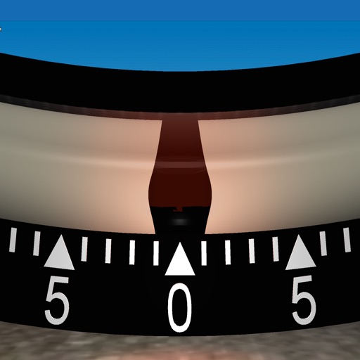
Measure angles and check surface flatness for home projects. Calibrate the tool, use hold mode, and auto fade when not in use. Display angles numerically and ensure verticality for walls or roofs.
Visualize elevation, slope, and contours in 3D. Export data to DXF, SHP, CSV, OBJ, glTIF, and STL. Analyze terrain features and integrate with AutoCAD and GIS software. Perform quick data exports and simplify complex GIS tasks.
Calculate undulation using the EGM96 dataset. Input GPS coordinates to determine elevation differences between Mean Sea Level and WGS84 ellipsoid. Export results for further analysis.
Measures roadway curve angles in degrees. Calculates combined effects of superelevation, vehicle roll, and lateral acceleration. Provides advisory speed recommendations for horizontal curves. Syncs with devices for data storage and analysis.