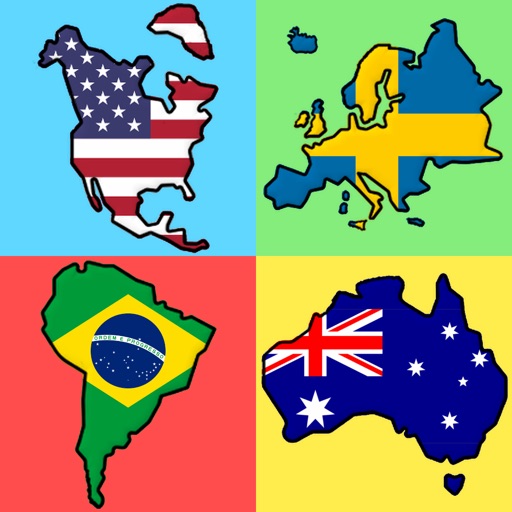
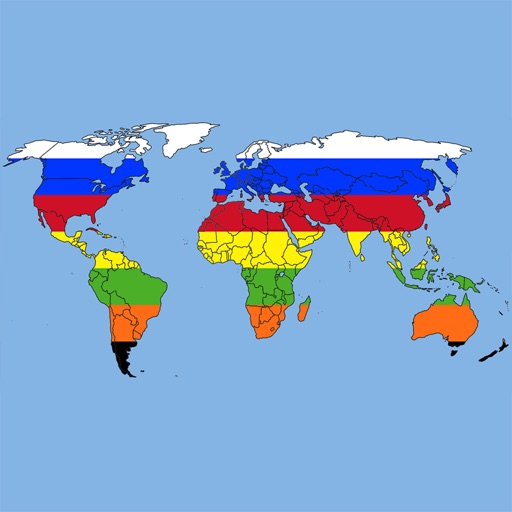
The app allows users to learn country locations and names through interactive modes. Users can explore countries, identify them on a map, and test their knowledge with quizzes.
by 公章 主浜★ 1.01 ratingsEducationFreeData updated 2026-09-17
The app provides facts about countries and territories. Users can explore data on over 300 countries and territories, including details on their geography, population, and economy.
Learn to name compounds with interactive lessons on alkanes, cycloalkanes, alcohols, aromatics, and ketones. Complete quizzes after each lesson to test comprehension and reinforce learning.
Learn national through a game format. Identify by country names. Group into with specific countries. Test knowledge with quizzes. View flag details and country information. Share scores with friends.
Quiz game teaches country and capitals through . Play solo or multiplayer with global players. Choose from 5 game types and 11 difficulty levels. Each level includes 20 , 20 capitals, or 20 currencies. Track progress through increasing difficulty.
Test knowledge of HTML, CSS, JavaScript, PHP, Java, Python, and C++ with randomized multiple-choice and multi-answer questions. View final score and receive hints for incorrect answers to identify mistakes.
Provides national flag images and historical information. Users can search for by country name or code. View current and past flag designs with descriptions. Share flag images directly.
Teaches letter-sound recognition through interactive games. Children identify matching sounds by tapping or dragging answers. Features four games to reinforce learning. Includes visual and auditory cues for each letter.
Learn U.S. by clicking on the map or searching the state list. View details such as region, abbreviation, capital, area, population, and largest . Identify and on the map through quizzes.
The app provides definitions and history for national flags. It also includes official country names, capitals, locations, area, population, and national anthems.
The app presents the outline of European countries and their map locations. Users select the correct country name from a list of four options to test their knowledge.
View country flags instead of names on a map. Search for countries by and navigate to their locations. Track visited and planned destinations with color-coded lists. Display flags of visited and desired countries for easy reference.
Prepare for the US a course covering all four USCIS sections: Speaking, Writing, Reading, and Civics. Includes explanations for every question, for each question, and the latest questions. Guarantee pass if all questions are completed.
Knowledge with questions on topics like population, religion, and capitals. Shuffle questions randomly each session. Skip unknown answers. Play one-on-one multiplayer matches.
Study for the RBT with 320 practice questions based on the current BACB task list. Review answers and explanations. Track progress and revisit questions for reinforcement.