Access real-time weather data including METARs, TAFs, and NOTAMs. View weather radar and decoded reports for quick briefings. Set up widgets and watch complications for updates. Get live TAF summaries for immediate forecast insights.
View real-time paths and details of international flights. Track aircraft movement, check numbers, directions, and status. Access comprehensive information about departures and arrivals.
Questions, track progress, and review explanations
For FAA and PPL or LAPL exams with question banks, explanations, and digital books. Track progress and practice on mobile. Covers aviation weather, aircraft systems, aerodynamics, and air law.
Track flights in real time with interactive maps worldwide. View departure and arrival boards for airports. Monitor flights of friends or family. Receive alerts for status changes. Share data via social media.
Track paths and monitor aircraft positions in real time. View weather data and airspace restrictions. Access preloaded charts and navigate without an internet connection. Set alerts and receive notifications for potential hazards.
The app allows real-time parameter adjustments for DJI A2 Flight Controller Systems and DJI Ronin and Ronin-M. It supports Bluetooth 4.0 and displays real-time flight data.
The app logs certificates, ratings, medicals, flight reviews, historical data, and flights. It generates detailed reports and integrates with the device's calendar for notifications.
View decoded and TAF reports for local and global . Save favorite stations for quick access. Customize units in settings. Use map view to analyze flight along planned routes. Share data with other pilots.
Access a database of airports, airlines, spacecraft, and related entities with instant search and country flags. View manufacturer and airline tail logos.
Access real-time METAR, TAF, and NOTAM data for global airports. Plan and save flight routes with offline storage. Sync data via iCloud. View briefings and pilot reports. Track conditions and flight-related alerts.
Coordinates can be viewed and shared via decimal degrees, degrees-minute-seconds, degrees-minute-decimal, UTM, and military grid systems. Users can tap a map to retrieve coordinates and directions.
Calculate landing speeds using Boeing’s FCTM procedures for 727 to 787 models. Input aircraft type and conditions to determine speeds. Supports Airbus and other jet aircraft as well. Store and recall frequently used settings.
Explore aircraft systems with interactive diagrams
Learn about aircraft systems and limitations through organized chapters based on the POH. Explore interactive diagrams to tap on components and see system changes.
Learn and practice IFR procedures with realistic simulations. Navigate using charts and instruments. Practice approaches, holds, and instrument approaches. Track progress and review performance metrics.
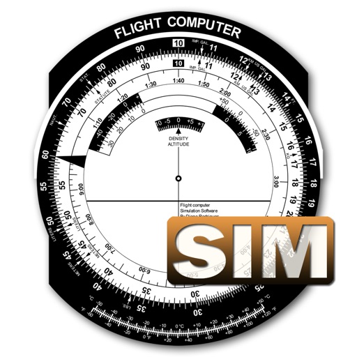
A utility simulates an E6B slide ruler for aircraft pilots. Perform conversions, wind corrections for low and high speed. Rotate, slide, and pinch zoom for precise control. Includes three calculation modes.
Navigate using real-time maps and flight tracking. View weather data and airspace restrictions. Log flight details and share them with pilots. Set waypoints and monitor altitude. Sync with GPS devices and receive turn-by-turn guidance.
Calculates air density, relative humidity, and air pressure automatically. Displays geographic position, temperature, dewpoint, elevation, and barometric pressure. Supports airport and manual input modes.