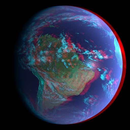
Access real-time data and satellite imagery from multiple sources including Clear Sky Charts, Clear Outside, Meteoblue, Windy, Astrospheric, and Sat24. View water vapor images and track wind patterns.
Calculate -adjusted playing distances by pointing the phone at the flag and entering the pin . Fetch real-time data including speed, direction, gusts, and temperature for accurate adjustments.
View tide and current predictions based on official NOAA data. Search for stations by name or location. Save favorites for quick access. Explore interactive charts for detailed information. Set alerts for specific conditions.
Track pot depths, locations, and catch totals. Access NOAA marine maps with water depth data. Navigate to pots using map and compass. View heatmap modes for map navigation. Add notes to individual pots.
Calculate bullet drop, wind drift, and elevation for precise shooting. Input custom bullet weight and muzzle velocity. Sync with devices for real-time data. Adjust for windage and elevation. Track performance metrics. Export shot data for analysis.
View current conditions and temperature, precipitation, and wind speed graphs for today. Access weekly forecasts and corresponding graphs. Switch between Celsius and Fahrenheit. Choose from five color themes with matching icons.
Check current temperature in Kelvin, Celsius, and Fahrenheit. View sunrise and sunset times based on local time zone. See atmospheric pressure, visibility, humidity, precipitation, wind speed, and direction.
Provides yardage to bunkers, water hazards, and pins. Displays distance markers in red, white, and blue for 100, 150, and 200 yards. Shows a map with a blue pin indicating current position.
Learn sailing basics through realistic boat simulation. Adjust sails based on wind force and navigate races against AI opponents. Practice tacking, gybing, and downwind/upwind techniques. Monitor stability to prevent capsizing.
The app provides weather data from NOAA's National Data Buoy Center, including tide predictions and moon phases. It allows users to view buoy data, save selected, and access location-specific forecasts for planning water activities.