Calculate altitude using GPS, ASTER, or barometer (iPhone 6 and later). Display average altitude from GPS and ASTER data. Show peaks, compass, and distance grid on an integrated map. Support Apple Watch. Choose unit of measurement.
by Sichtwerk AG★ 4.5710 ratingsNavigation$1.99Data updated 2026-11-11
Track speed with GPS precision for driving, cycling, running, or walking. View real-time speed in mph, km/h, or knots. Log trip details including distance, time, and average speed. Customize display settings for different activities.
The app records GPS tracks, allowing users to save routes and add photos, videos, and voice notes to locations. Users can share routes with others, import GPX files, and navigate along recorded paths with real-time guidance.
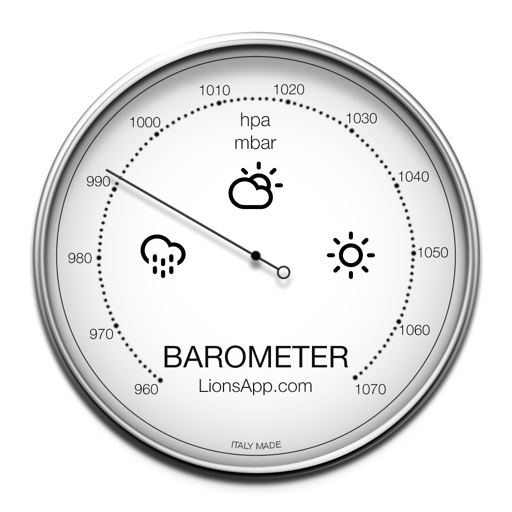
The app displays atmospheric pressure and climatic conditions based on the user's location. It supports multiple units for pressure measurement and tracks the last reading with intuitive graphics.
Record journeys without an internet connection. Track distance, elevation, and detailed statistics. Save locations for navigation. Review routes and monitor progress without requiring mobile service.
Monitor boat anchor status with . Set alerts if anchor is improperly secured and boat is dragging. Calculate swinging radius manually or automatically. View map with anchor location and swinging circle. Receive notifications when anchor is loose.