

Apps Like Altimeter+ for iPhone and iPad
Measure altitude with GPS and barometer
Calculate altitude using GPS, ASTER, or barometer (iPhone 6 and later). Display average altitude from GPS and ASTER data. Show peaks, compass, and distance grid on an integrated map. Support Apple Watch. Choose unit of measurement.
Altimeter+ screenshots
Ranked alternatives
Showing 421–440 of 1,000 ranked alternatives.

Anemometer: Wind speed
LionsApp di Nallbati Elton
Track and direction
Monitor current and direction using real-time data. View compass integration for accurate navigation. Save and access favorite locations for quick reference.

Snownometer: snowboard tracker
Dmitry Suvorov
Track speed, acceleration, and distance
Track snowboarding performance with GPS to measure speed, acceleration, and distance. Record ride time and calculate average speed. Save and review session data for analysis.

MyFieldTracker
MyShoppingHelper, LLC.
Track areas with ArcGIS maps and GPS
Allows users to define harvesting areas and stream boundaries using ArcGIS map data. It supports iPad with GPS boosters for location tracking. Users can manage map layers and attributes for forestry planning.

ZenTest-Smart Water Tester
Apera Instruments, LLC
Test parameters via Bluetooth
Connect to Bluetooth-enabled testers to measure pH, conductivity, TDS, salinity, resistivity, ORP, and temperature. View data in Simple, Dial, Graph, or Table modes. Save and manage measurement records in a cloud-based system.

Jetting for TM KZ / ICC Kart
BALLISTIC SOLUTIONS RESEARCH & DEVELOPMENT SOFTWARE SIARHEI RAICHONAK
Jet tune based on weather and engine
Provides recommendations for specific engines based on temperature, altitude, humidity, atmospheric pressure, and engine configuration. Calculates recommendations for 12 carburetor setups.
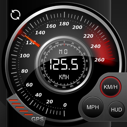
Speedo GPS Speed Tracker, Car Speedometer, Cycle Computer, Trip Computer, Route Tracking, HUD
Kevin Siml
Track , distance, and
Record data including , average , distance, altitude, and elapsed time. View real-time GPS tracking with longitude and latitude. Monitor statistics and save history. Sync with devices for offline navigation.

RTA Audio
New Ball s.r.o.
Record and analyze frequencies in real time
Realtime analyzer processes live input with Fast Fourier Transform and window functions. Record for offline analysis. Visualizer module displays frequency data from recorded files. Export analysis results and files.
Fuel Calculator App
SHPAVDA, TOO
Estimate cost and efficiency
Calculate consumption and efficiency to estimate travel costs and needs. Input distance and used to determine economy. Choose between imperial or US customary units. Adjust settings for different regions and vehicle types.


Ruler AR: Digital Tape Measure
Reman Attar
Distance, height, width, length, and area
Distances, heights, widths, and lengths using your phone's camera. Calculate area with the area tool. Save measurements, remove limits, and export data to Excel. Includes flashlight and screenshot features. No ads with premium subscription.



Distance Measurement
Nanshu Kaneshiro
Measure distance by tracing on map.
The app measures distance by tracing on a map with a finger. It supports both kilometers and miles for units.



Spike by ikeGPS
ikeGPS, Inc.
Measure objects with a photo
Measure objects by taking a photo with a smartphone or tablet. Capture real-time dimensions like height, width, area, and length. Share measurements via Cloud. Sync with laser device for accurate data. Export measurements in various formats.


Altimeter Pro GR
Dimitris Papadopoulos
Altitude and context at a glance.
The app shows current altitude, latitude, longitude, and heading. It also provides weather data including temperature and atmospheric pressure.
How we rank alternatives
Apps are ranked by functional similarity, category fit, rating confidence, and popularity.