View charts and daily forecasts. Check trip forecasts and rain predictions. Track hurricanes and tides. Receive notifications. Access radar maps. Use widgets for quick home and lock screen views. Monitor historical data.
Track tides and marine weather with real-time forecasts and buoy observations. View NOAA marine reports and weather data. Plan activities like fishing, boating, or beach trips. Set alerts for changing conditions.
Check current and hourly weather forecasts. View real-time temperature. Access an 8-day tide schedule. Watch live shore cams from City and nearby beaches. See local news updates. Search for nearby restaurants and stores.
View real-time GO departures and platform details. Check for delays and cancellations. See the number of coaches and switch to a 12-hour clock. live movement and access full schedules between any stations. Save preferred settings for future use.
Tracks strikes globally with real-time updates. Displays historical hotspot data and provides detailed storm locations on maps. Sends notifications when strikes occur nearby.
Book and manage e-scooter rides by scanning QR codes to locate and activate rentals. Register an account to start rides, charge your phone while riding, and park in designated spots to end trips. Track location and manage payments through the .
Track ships in real-time with vessel details, routes, and estimated arrival times. View port arrivals and departures. Plan coastal trips using maritime data. Receive updates on new ships entering ports.
View for over 9,000 stations across 40 countries. Locate nearby automatically. Set custom alerts for specific locations. Track high and low schedules. Share data with others.
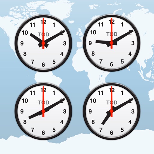
Track time zones with a world clock displaying 64,000 cities. View interactive maps with customizable themes. Check moon phases and enable clock chimes. Use location tracking to update time based on current position.
View real-time data for precise rain forecasts. Track precipitation intensity and movement. Set location-based alerts. Save and share images. Access historical patterns for specific areas.
View real-time GPS location and track movement. Access marine charts, weather forecasts, and tide information. Plan routes with smart routing features. Set and monitor alerts. Share coordinates and waypoints.
Check 16-day forecasts with temperature ranges, precipitation chances, and sunrise/sunset times. View hour-by-hour updates. Access live maps for real-time tracking. Monitor air quality and receive alerts for severe conditions.
View real-time heights and predict high and low . Access charts, tables, and maps for over 17000 coastal locations. Track with a dedicated watch interface. Set alerts for specific events. Share data via email or social media.