

Apps Like Maps+ for iPhone and iPad
Save locations, set reminders, and customize maps
Save locations with color-coded bookmarks and import GPX files. Set location-based reminders. Search with autocomplete. Access current location details. Customize settings with modular options.
Maps+ screenshots
Ranked alternatives
Showing 341–360 of 1,000 ranked alternatives.

WayLog - Simple GPS Tracker
Tsuneki Kamura
Record trips with GPS and voice commands
Record routes with GPS, track elapsed time, distance traveled, straight line distance, average speed, and last recorded speed. Start or stop recording via voice or NFC tag. View route and metrics on screen. Compatible with Apple Watch.

SeaNav US
Pocket Mariner Ltd.
Navigate with real-time charts and tappable buoys
Plan and navigate boating trips with real-time updates and high-resolution NOAA charts. View detailed digital vector charts for US coasts, inland waters, and Great Lakes. Tap buoys and lights for bearing and distance.


Locationscout - Photo Spots
der-Webdesigner GmbH
Plan trips, track locations, discover
Plan and organize trips by adding destinations, tracking visited locations, and saving favorite . Create bucket lists with detailed notes and photos. Share routes and recommendations with others. Sync travel data across devices.

NodeMapp Bike
NodeMapp
Plan routes and view nodes on
Plan and save customized routes using a map-based interface. Set start points and desired distances for automatic route calculations. Save routes for future reference.

Lot Tracker
GORDON HOWARD ASSOCIATES, INC.
Track vehicles with GPS and maps
Track vehicle locations using GPS. View past location history on maps. Search by vehicle make, model, stock number, or VIN. Save individual vehicle details for easy access.


World Paroramic for Street
宗群 杨
Explore locations with view panoramas
View locations on maps to find nearby panoramas. Search addresses for views. Navigate automatically based on current location. Share and bookmark panoramas. Switch between map and view modes. Move in view to update map markers.

Maptrails
Pasi Salenius
Explore maps, track trails, navigate outdoors
View topographic, nautical, and aerial maps. Save locations as markers syncing across devices via iCloud. Measure distances, draw paths, and use Look Around to navigate. Explore preloaded maps for hiking, hunting, and outdoor activities.

fDeck: flight instruments
Darren Yeates
Tune radios and view
Access real-time data and control virtual . Tune global aviation radios or create custom radio aids. Practice navigation techniques and use as a training tool or supplementary instrument during flights.


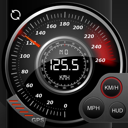
Speedo GPS Speed Tracker, Car Speedometer, Cycle Computer, Trip Computer, Route Tracking, HUD
Kevin Siml
Track , distance, and
Record data including , average , distance, altitude, and elapsed time. View real-time GPS tracking with longitude and latitude. Monitor statistics and save history. Sync with devices for offline navigation.

Advanced English Dictionary.
JDMI Kft.
Explore language with a vast dictionary.
The app provides offline access to a large database of words, definitions, and pronunciations. It includes search capabilities, etymologies, a thesaurus, and sample sentences for word usage.

Virginia Pocket Maps
Alex Gugel
Explore parks, download , plan trips
Plan trips to parks by downloading , brochures, and newspapers. Explore 80+ parks, 500+ campgrounds, 2,600+ trails, and 73,000+ points of interest. Access 60+ folded from federal and state agencies. Navigate without WiFi in wilderness areas.
How we rank alternatives
Apps are ranked by functional similarity, category fit, rating confidence, and popularity.