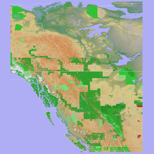
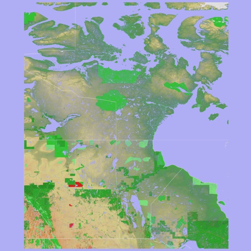
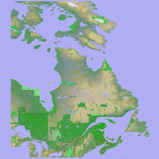
Provides offline maps of the entire United States. Displays roads, terrain, streams, lakes, and landmarks. Works without cell signal. Allows zooming and panning. Includes compass and scale. Supports saving and sharing map views.
by Mark Granger★ 4.453 ratingsNavigationFreeData updated 2026-09-08
View topographic of the United States with options for standard or hybrid map sources. Download for offline use and track current location on the map. Navigate using map features and explore terrain details for outdoor activities.
Find and vegetarian restaurants, cafes, and eateries in 150 countries. Search by location or dietary needs. Receive alerts for new food places nearby. Filter options include raw food and specific dietary preferences.
Distances between waypoints or calculate surface areas using map polygons. Set waypoints by tapping and holding. Choose units like kilometers, miles, or nautical miles. Access settings to change map type or view the manual.
View and interact with saved maps and data offline. Add markers, customize layers, and share maps via email or social media. Navigate using map views and search for locations. Sync data with web tools.
Receive critical call details instantly via Apple Push notifications. Automatically map alarm locations and share real-time updates with responders. Access related photos and documents directly. Convert unclear dispatch data into readable sections.
Navigation provides turn-by-turn driving directions with live traffic updates. Download and use without internet. Explore new locations with detailed content. View traffic conditions to avoid congestion. Save and access without limits.
Provide offline with detailed points of interest. Record GPS tracks and bookmark locations. Receive turn-by-turn navigation with voice instructions in nine languages. Choose routing options for driving, cycling, walking, or shortest distance.
Find runs with GPS routes, elevation profiles, and interactive maps. View photos and expert insights for each . Search for runs by location or area. Plan routes with detailed guidance and highlights. Sync with maps for offline navigation.
Track cycling routes with detailed 3D maps showing terrain and elevation. Log ride details including distance, speed, and time. Save and share custom trail routes. View trail difficulty and user ratings. Receive turn-by-turn navigation during rides.
Find fishing spots with of rivers, lakes, and streams. View property boundaries to stay legal. Locate access points, boat ramps, and local shops. Use the River Measuring Tool to track conditions and log fishing success.
Track and save GPS locations for cars, hotels, and other places. View maps in Roadmap, Satellite, Hybrid, and Terrain modes. Share locations quickly and search for points of interest with GPS navigation.
View nearby cell towers for 5G, 4G, 3G, and 2G networks on an interactive map. Access tower details including ID, signal strength, and network provider. Tap to get directions to specific towers.
Navigate using auto-direction based on current location. Create routes on Google . Access latest Street View and traffic data. Search locations with simple input. Add multiple pins and view full-screen . Display latitude and longitude.
Calculate altitude using GPS, ASTER, or barometer (iPhone 6 and later). Display average altitude from GPS and ASTER data. Show peaks, compass, and distance grid on an integrated map. Support Apple Watch. Choose unit of measurement.