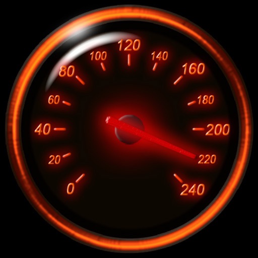
Track speed using iPhone's GPS. Display speed in mph or km/h based on region settings. Show max and average speed. Choose between digital and analog display styles. Monitor speed during car, bike, running, or riding activities.
by FAPPS WORLD et Cie SCS★ 4.6180 ratingsNavigationFreeData updated 2026-09-08
Enter MGRS or coordinate data to navigate to specific points. Adjust pace count and track deviations. View distance, speed, and angle settings in meters/km or feet/miles. Analyze movement patterns for navigation improvement.
Track snowboarding performance with GPS to measure speed, acceleration, and distance. Record ride time and calculate average speed. Save and review session data for analysis.
The app provides audible and visual speed camera warnings. It uses directional information to reduce false alerts and displays cameras on a map or in a list.
Control devices, transfer data, upgrade remotely, share
Remote control devices and monitor speed. Transmit and collect data. Share information socially. Update devices over-the-air. View device details and settings.
Create custom playlists from device songs. Apply real-time effects including speed change, pitch shift, 10-band EQ, reverb, and center cancel. Adjust settings via toolbar buttons for , tune, EQ, and reverb.
Track speed, average speed, maximum speed, and directional speed. Measure velocity made good and wind speed. Calculate the Pilot Performance Index to assess flight performance. Compare results with others or against autopilot settings.
Display current, maximum, and minimum altitude using GPS. Switch between meters, feet, and yards. Adjust scale increments of 10, 100, 1000, or 10000. Track altitude changes during hiking or travel.
View global forecasts for up to 15 days with daily temperature ranges, precipitation, wind speed, humidity, and UV index. Track sunrise, sunset, moonrise, and moonset.
Provides real-time device orientation based on magnetic fields. Allows switching between true and magnetic north. Displays compass direction and azimuth. Includes declination information. Offers tilt sensitivity settings.
Plan routes online and send them to the with one click. View routes on a map with spoken navigation and visual arrows. Record trips and sync them with www..org. Track start and destination points for ideal connections.
Transfer files between devices on the same local network. Send photos, videos, text, and other files securely. Use intuitive interface for quick transfers. No internet or cellular data required. Encrypts files with advanced security.