Apps Like Large Maps for iPhone and iPad
View and scroll PDF effortlessly
View and scroll PDF up to 110 inches wide. Zoom in for detailed terrain features. Navigate with on-screen markers and scale adjustments. Save edited map sections as new files. Share map views via email or messaging apps.
Large Maps screenshots
Ranked alternatives
Showing 421–440 of 1,000 ranked alternatives.


Falk Maps
MAIRDUMONT
Online maps for every journey.
The app provides online maps for motorists, pedestrians, and cyclists. It includes route planning with real-time traffic avoidance and over 5 million points of interest.



GIS Kit
Garafa, LLC
Cache maps, view data, explore terrain
View and analyze geographic data offline without GIS software or training. Download topographic, street, and satellite maps. Import ESRI Shapefiles and KML/KMZ files. Display attribute fields like descriptions, photos, addresses, and dates.

Bathroom Scout
Christof Lange
Find restrooms on a map.
The app displays over 3,500,000 bathrooms on a map. Users can view toilet locations using Street View and satellite imagery.

Outdoor Südtirol
IDM Sudtirol / Alto Adige
Organize outdoor activities in South Tyrol.
The app organizes outdoor activities in South Tyrol. Users can search, filter, and explore activities on a map, with options for detailed descriptions, offline maps, and GPS directions.
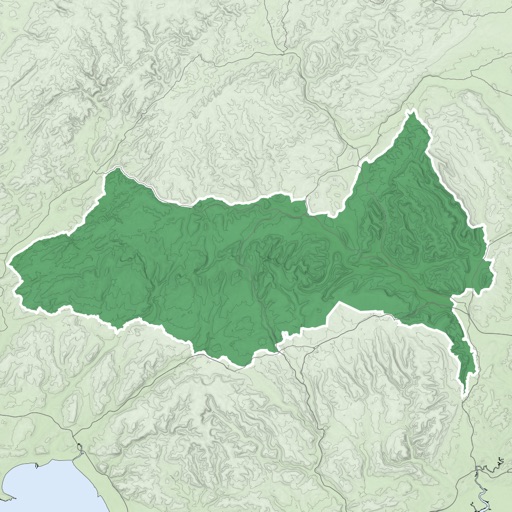
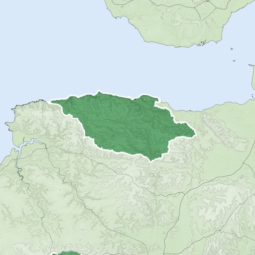
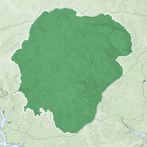

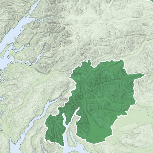


Wise Pilgrim Vía Podiensis
Wise Pilgrim SL
Explore trails, leave tips, and track
Travel guide provides offline access to updated information on the Camino de Santiago. Users can leave tips for other pilgrims. Content includes the route. Features include offline navigation and comment sharing with a data connection.
GPSSpeed HD: The GPS tool
MWAY DIGITAL GmbH
Track speed, altitude, and log data
GPS displays speed, altitude, and track data with real-time profiles. Logs activity in sleep or background mode. Stores recorded tracks for analysis and map display. Shares tracks across devices via iCloud.
How we rank alternatives
Apps are ranked by functional similarity, category fit, rating confidence, and popularity.