View and download detailed maps with topographical hillshading and contour lines. Store maps for offline use. Navigate using detailed terrain features. Find hiking trails, ski runs, and back streets.
by Syzygy Research & Technology Ltd.★ 4.915 ratingsNavigationFreeData updated 2026-09-08
Explore detailed worldwide and topographic contour for outdoor navigation. Access offline without data roaming. Use voice-guided routing and view travel guides. Unlock unlimited offline with an in- purchase. Always access Africa Standard for free.
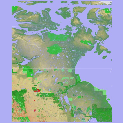
The app presents a 3D topographic map of Eastern Canada. Users can download map data for use without an internet connection, suitable for various travel methods.
View 3D terrain with elevation details. Plan routes using detailed topographic . Access footpaths and natural features. Track progress with distance and elevation metrics. Share and routes with others.
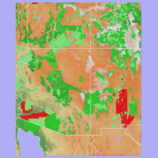
Discover hiking trails, scenic viewpoints, and cultural sites in and Arizona. Browse local events, find restaurants, and access maps. Get tips for photography, spirituality, and outdoor activities.
Plan trips to Lake with maps and local attractions. Find resorts, cabins, and campgrounds. View winter activities and seasonal events. Get directions and save favorite spots for future visits.
The app provides 3D topographic maps for iPad and iPhone. Vector map data is contained within the app for offline use, supporting navigation in various environments.
Plan hunts with detailed LiDAR maps, satellite imagery, and deer movement predictions. Access land boundaries, ownership data, and parcel change alerts. Customize LiDAR layers and overlay crop data for strategic scouting.
The app allows users to create and edit information in OpenStreetMap. Users can add points of interest, streets, paths, buildings, and bodies of water, with full undo/redo support and offline capabilities.
Plan trips with offroad and trail data. Access offline GPS navigation and camping locations. Find fuel and water resupply points. Connect with local users and join events. Track routes and share trip details.
Explore trails, share adventures, connect with others
Find and explore outdoor locations with detailed maps, directions, and photos. Access curated articles, events, and brochures. Share adventures with other users and connect with organizations that manage outdoor spaces.