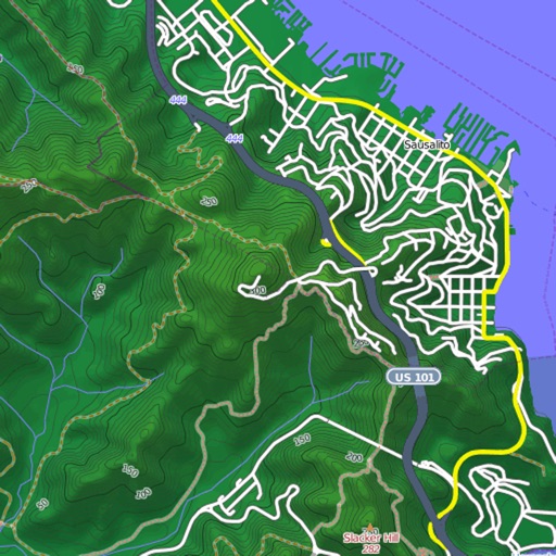
View and download detailed maps with topographical hillshading and contour lines. Store maps for offline use. Navigate using detailed terrain features. Find hiking trails, ski runs, and back streets.
by Syzygy Research & Technology Ltd.★ 4.915 ratingsNavigationFreeData updated 2026-09-08
Navigate the using GPS to find over 70 points of interest. Learn about the site's history and ecology through detailed descriptions and images. Access maps and trail information to plan your self-guided tour.
View subway lines in Traditional Chinese, Simplified Chinese, and English. Plan routes with one-click transfer options. Check station details and first/last train times. Browse maps for quick itinerary planning.