

Apps Like MapApp NZ North Island for iPhone and iPad
Navigate with topographic maps
View topographic maps of New Zealand's offline. Locate current position via GPS. Search for place names. Includes all map data from LINZ 1:50000 scale Topo50 series.
MapApp NZ North Island screenshots
Ranked alternatives
Showing 401–420 of 1,000 ranked alternatives.



New York Subway Times
Redd King LLC
Navigate , bus, and PATH routes
Navigate NYC , MTA buses, and PATH with real-time arrival data. View live service alerts and countdowns for each station. Access interactive maps, locate nearby stations, and plan trips using trip tools.

North End Shuttle
jeffrey knight
Book rides and request quotes
Book rides and request transportation quotes. View schedules and driver information. Track vehicle location in real time. Confirm pickups and receive notifications. Cancel or reschedule trips through the .

Scenic Map Central USA
Mark Granger
Explore 3D maps offline worldwide
Navigate with a 3D topographic map of the USA. View detailed terrain and vector data offline. Use in vehicles or during outdoor activities. Access global maps online with automatic caching for offline use.
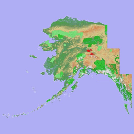
Scenic Map Alaska
Mark Granger
Explore 3D topo maps offline
View 3D topographic maps of offline with vector data. Navigate by car, boat, plane, or on foot. Access worldwide satellite maps online with automatic caching. Toggle between map types and zoom to any location.


BalticMaps
Jana seta SIA
Explore the Baltics with detailed maps.
The app provides maps of Latvia, Lithuania, and Estonia. Users can pinpoint addresses, view topographic maps, and share locations.

Rosicrucian Egyptian Museum
ROSICRUCIAN ORDER
Explore maps and artifacts offline
Explore exhibits through interactive gallery maps and detailed artifact descriptions. Locate nearby locations using GPS. Learn about historical treasures and collection highlights without visiting in person.




GBTopoMap
Right Place Resources Limited
Pan and zoom maps offline
Provide offline topographic maps of Great Britain with pan and zoom capabilities. View detailed terrain features and scale at 1:25k. Use for outdoor activities like hiking, cycling, and hunting in areas without cellular coverage.

ToddlerTown
Daniel Pitts
Create maps of kid-friendly locations
Create a map of kid-friendly locations in your area. Search for places by name or location, add favorites, and organize them by category. View details, photos, and text for each place. Get directions via Apple or Google Maps.


How we rank alternatives
Apps are ranked by functional similarity, category fit, rating confidence, and popularity.