Apps Like MapApp NZ North Island for iPhone and iPad
Navigate with topographic maps
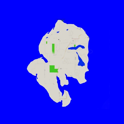
View topographic maps of New Zealand's offline. Locate current position via GPS. Search for place names. Includes all map data from LINZ 1:50000 scale Topo50 series.
by Saga Systems Ltd★ 5.01 ratingsNavigation$11.99Data updated 2026-09-08
The app provides offline mapping and GPS tracking on detailed Hema maps. Users can see their location on maps featuring roads, 4WD tracks, and topographic information to guide travel.
View tide predictions for 8000+ global locations. Access monthly Extremes Charts and yearly Tide Calendar. Track Moonrise, Moonset, Sunrise, and Sunset times. Use offline maps for navigation. Sync with Apple Watch for real-time updates.
Track location and movement with GPS. View USGS, US Forest Service, and Canadian . Log trails and waypoints. Navigate offline in areas without cell signal. Display elevation and terrain details. Share route data and historical tracks.
View detailed and subway routes with interactive maps. Plan trips by finding fastest routes and transfer points. Access a stations index for quick navigation. See line-specific station orders and transit options. Use GPS to locate nearby stations.
Enter MGRS or coordinate data to navigate to specific points. Adjust pace count and track deviations. View distance, speed, and angle settings in meters/km or feet/miles. Analyze movement patterns for navigation improvement.
Navigate using detailed topographic and over 900,000 searchable points of interest across Canada. Plan routes, view terrain features, and access trail information. Mark locations, save waypoints, and track progress. Share and coordinates with others.
Navigation allows users to set a fixed starting point and adjust the map view. They can zoom, pan, and reset to the original location with a tap. Search results update only when the starting point changes.
The app allows users to search Utah County property records by address, name, or parcel. Users can also pan and zoom a topographic map to find property details like ownership history and values.
View indoor maps with high-fidelity geospatial accuracy. Navigate buildings using real-time location data. Access floor plans and points of interest. Search for locations and receive directions. Share maps and locations with others.
Search for points of interest using a 3000+ database filtered by distance. View results on an interactive map with detailed information. Access nautical charts, regulatory details, marina locations, and yacht services.
Display current with GPS coordinates, closest address, What3Words identifier, and Google Plus Code. Tap data to share via text message, email, or social media.
View detailed maps of Norway with accurate trails, sea routes, and city navigation. Search locations and addresses. Use GPS for auto-rotating maps and compass. Download maps for offline use. No advertisements.
Access real-time ferry schedules, webcams, and vessel positions. View current and forecasted tides and weather. Check upcoming events and business hours. Track burn permit status and news updates.
Explore events with real-time updates, including start times and locations. Browse attractions, dining options, and activities. Receive directions and save favorites. Access maps and local information for .