Identify clouds using AI or manual selection. Save cloud photos with location data. Share images via social media and email. Access cloud encyclopedia and quizzes. Ask AI chatbot questions about clouds.
by 隆明 弥生★ 5.01 ratingsEducation$0.99Data updated 2026-09-08
Create clouds with customizable shapes and fonts. Add text and adjust layouts. Export in 4K resolution. Support iPadOS trackpad and mouse. Remove small words and adjust margins. Include new outline and shape text tools.
Check current temperature and hourly forecast. View 7-day predictions. See chance of rain, UV Index, and Air Quality Index. Track wind speed, direction, dew point, and visibility. Monitor min, max, and feels-like temperatures.
Stars and constellations with real-time sky maps. Locate celestial objects and track their movement. Identify planets and bright stars. Set location and time for accurate sky views. Save favorite stars and constellations for future reference.
Study aviation procedures with interactive simulations. Edit and share customizable flows with other users. Record and review training sessions. Access user-created flows and upload them to the cloud for cross-device access.
Explore the night sky with three perspectives: sky, Earth, and solar system. View star maps, constellations, and celestial events. Use augmented reality for interactive exploration. Display high-resolution Earth globe and solar system models.
Explore interactive scenes with unicorns, rainbows, and castles. Touch to interact with characters and items. Decorate rooms with a magic wand. Navigate through story-based pages with hints. Complete tasks like riding unicorns and exploring castles.
COLREGs offers flag identification, weather scales, cloud recognition, sound signal guidance, and vessel light details. Users can access navigation , interpret flags, and understand sound and light signals for safe boating.
Track International Space Station passes with real-time alerts and location guidance. Check weather conditions for optimal viewing. Receive notifications before each pass. Add satellites and amateur radio capabilities via in- purchases.
View real-time updates and forecasts for your location. Receive alerts for severe conditions. Access maps with multiple layers to track precipitation and storm movements. Check detailed charts for temperature, wind, and humidity.
Point your smartphone at the night sky to identify constellations, stars, and satellites. AR overlays display celestial names in real time. Swipe to navigate different directions. Receive alerts for ISS passes and meteor showers.
Explore exoplanets with detailed descriptions and visualizations. Navigate through 180 trillion square light years of space. Switch between 6 travel modes for different exploration perspectives. Learn about planetary systems and celestial bodies.
Find and scan a Sky to start a ride. Unlock and ride to your destination. End the ride and lock the . View ride history and manage account settings. Track location and receive notifications.
The app displays stars, planets, and constellations in their correct positions based on the user's location. Users can explore the night sky, view celestial objects, and adjust the sky map in real time as they move their device.
Celestial objects with detailed information on planets, stars, and constellations. Identify objects in real-time using the device's camera. View 3D models of planets and track their movements.
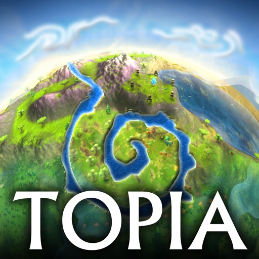
The app is a world creation simulation where users shape the land by using touch controls to create mountains, valleys, rivers, and oceans. Users can also spawn animals and observe their interactions on the planet.