The app provides aeronautical publications and aviation maps for international use. Users can see their position on maps and download documents for offline access.
by OzRunways Pty. Ltd.★ 4.8145 ratingsNavigationFreeData updated 2026-09-16
Plan routes for hiking, biking, or driving with path snapping to trails, roads, and footpaths. Navigate using phone, bike computer, GPS, or Garmin watch by sharing routes via , Garmin Connect, or GPX files. Download maps for offline use.
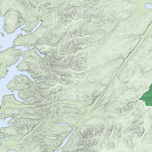
Provides navigation with detailed vector maps that support zooming at any level. Includes continuous updates from OpenStreetMap. Helps avoid roaming charges by offering local map data.
Provides maps for navigation without internet connection. Displays detailed vector maps with continuous updates. Allows zooming at any level. Helps avoid roaming charges by using local data.