Find nearby and post offices in the UK using GPS. Search by location or address. Report missing via OpenStreetMap. Refresh data to include updates. View maps and directions to locations.
by PJ COOK★ 2.01 ratingsNavigationFreeData updated 2026-09-08
The app provides millions of points of interest and thousands of miles of routes across Germany, Scandinavia, and the Benelux countries. It stores data on the device for offline use, offering various categories and route types from OpenStreetMap.
The app provides offline GPS navigation for hiking and mountaineering, displaying the user's location on topographic maps. It allows users to record their routes and works without cell service.
The app stores millions of points of interest and routes on the user's device for offline access. It includes a toolbar for quick access to categories, signs pointing to offscreen points of interest, and compass, radar, and scanner modes.
Find Points of Interest with detailed categories including hotels, banks, toilets, tourist attractions, and hospitals. View routes and locations offline. Search for specific POIs and navigate using map-based directions.
View topographic of with detailed scale options and lake depth information. Access property data via in- purchase. Download for offline use. Navigate using precise map data and location features.
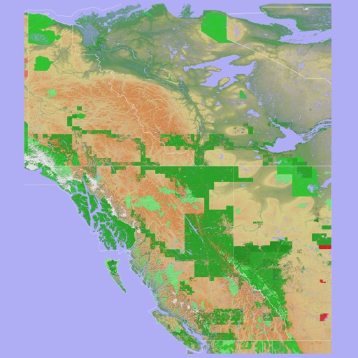
The app provides a 3D topographical map of Western Canada. Map data downloads to the device for use without an internet connection, allowing users to view terrain features as small as ten meters.
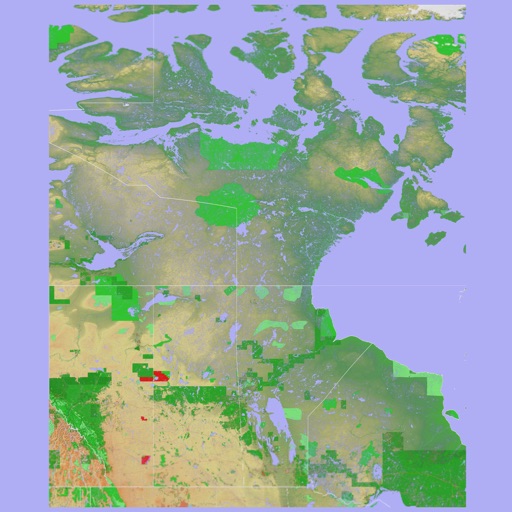
The app presents a 3D topographic map of Eastern Canada. Users can download map data for use without an internet connection, suitable for various travel methods.
The app allows users to search for geocaches using the Geocaching Live API or by importing GPX files. All geocache data is stored locally for offline use, and users can log finds and trackables within the app.