Track flight paths and waypoints. Display real-time GPS data and altitude. Set navigation targets and receive turn-by-turn guidance. Monitor weather conditions and air traffic. Save and share flight logs. Sync with external devices for telemetry.
by Logic Design★ 2.02 ratingsNavigation$99.99Data updated 2026-09-08
Navigate using high fidelity airport maps and enroute displays. Access aeronautical data for flight planning. Streamline operations with integrated electronic flight folders. Monitor fuel efficiency and situational awareness during flights.
Calculate prayer times during flights using waypoint coordinates and altitude. Determine prayer times en route with ground speed and track data. Sync with flight plans for accurate timing.
Explore trails, track routes, and navigate outdoors
Plan outdoor activities with 3D terrain views of hills, mountains, and valleys. Navigate footpaths and track elevation changes. Save and share custom routes. Sync with fitness apps for activity logging.
Navigate trails and routes using detailed and turn-by-turn directions. Track location and elevation. Save favorite spots and share routes. Import GPX files and set waypoints. View terrain and land features for outdoor exploration.
Navigate using real-time traffic updates and turn-by-turn directions. Access points of interest, search for locations, and view maps. Switch between portrait and landscape modes. Control audio playback and manage call functions.
The app provides real-time road and traffic information for Georgia drivers. It displays traffic events, cameras, message signs, rest areas, and express lanes on a zoomable map, helping users plan routes and anticipate delays.
Navigate ski trails with GPS route data and elevation profiles. View interactive maps with photos and expert recommendations. Search for ski lines by location. Plan routes with detailed insights on difficulty and highlights.
The app obtains and stores flight data, showing elapsed time, distance to take-off, ground speed, and climb rate. It supports competition data entry and displays direction and distance to waypoints, converting data to IGC, GPX, and KML formats.
The app provides 2D and 3D flight data visualization, downloadable map data, and live tracking support. It calculates XC points, supports common file formats, and visualizes airspaces and thermals.
View real-time map with incident locations, custom pins for incident types, and current location marker. Access easy-to-read list of . Navigate routes based on incident data to avoid delays.
Track cycling performance with real-time data including speed, distance, elevation, and calories. Record and playback routes. Customize settings and share ride details with others.
Access real-time subway data and detailed route maps. Find optimal transfer routes with time, cost, and distance details. Discover nearby attractions and navigate with real-time guidance. Retrieve station information and surrounding services.
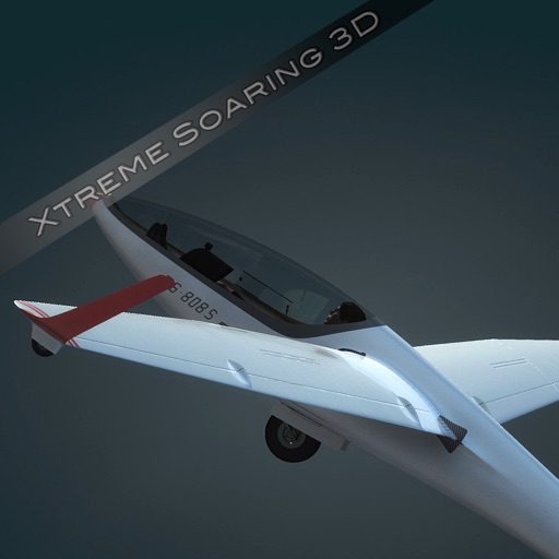
The app simulates soaring flight with realistic landscapes and detailed airports. It features multiple gliders, functional cockpits, and various flight dynamics like thermal and ridge lift.
Record cycling rides with offline maps and GPS tracking. Add routes via GPX files or existing rides. Overlay routes on maps. View climb categories and ride history without internet. Import photos and attach to rides. Sync with Health .
Plan and track outdoor routes with 3D terrain views. Measure elevation changes and distance. Save and share custom trails. Access real-time GPS navigation and offline maps. Adjust routes based on elevation and difficulty.