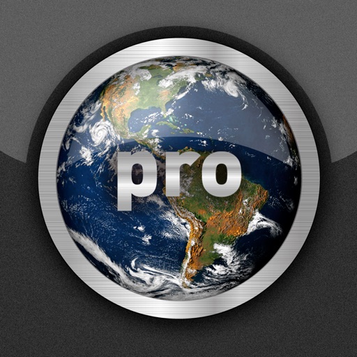
View real-time cloud cover and day/night boundaries. Rotate and zoom the globe, tap to explore maps. Check current weather for capital cities and search for specific locations. Pro version includes advanced pinging features for global connectivity.
by Corporate Smalltalk Consulting Ltd★ 3.02 ratingsWeatherFreeData updated 2026-09-08
Access real-time weather data with high-resolution and satellite imagery. View current conditions and forecasts updated hourly. Add and save favorite locations. Track severe weather movement with future projections.
View current updates multiple times per hour. Access high-resolution satellite cloud imagery and 250-meter radar. See future radar for severe direction. Save and add favorite locations. Obtain daily and hourly forecasts from computer models.
Check current weather with frequent updates. View high-resolution satellite imagery and 250-meter radar. Access future radar for severe weather tracking. Save favorite locations. Use integrated GPS for location-based forecasts.
View global weather data with interactive map panning and zooming. Switch between weather layers for current and forecasted conditions. Track detailed weather changes up to 0.25 degrees on land or sea.
The app provides access to station content, 250 meter radar, and future radar. It includes high-resolution satellite imagery, current weather updates, and daily/hourly forecasts.
Provides updates based on automatic location tracking. Displays current and forecasted with animations. Shows sunrise and sunset times. Offers temperature in local units. Includes rain probability and background descriptions.
View short-term (24-hour) and long-term (14-day) forecasts for any region. Check for upcoming days with details on air pressure, clouds, wind, rain, snow, fog, visibility, waves, and ocean currents.
Access real-time updates multiple times per hour. View high-resolution radar and satellite imagery. Add and save favorite locations. Get hourly forecasts and severe alerts. Use integrated GPS for location-based reports.
Quiz "Test knowledge of capitals with multiple-choice questions. Choose between light and medium difficulty modes. Track progress and review correct answers."
View real-time satellite cloud imagery and interactive maps. Access colour-coded weather alerts by severity. Get accurate 10-day forecasts with hourly details. Save favorite locations. Use integrated GPS and compass for location awareness.
View current updates multiple times per hour. Access high-resolution satellite imagery and 250-meter radar. Track severe with future radar predictions. Save favorite locations and use integrated GPS for location awareness.
Explore phenomena by adjusting temperature, wind speed, precipitation, and cloud coverage. Create rainbows, thunderstorms, and blizzards. Learn about 9 major types through interactive experimentation.