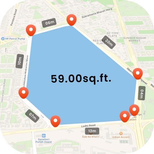
Provide accurate GPS coordinates and altitude readings. Display direction and map integration. Enable location-based reminders and track movement routes. Adjust settings for different navigation modes.
by DOUBLE U s.r.o.★ 4.68,289 ratingsNavigationFreeData updated 2026-09-08
The app obtains and stores flight data, showing elapsed time, distance to take-off, ground speed, and climb rate. It supports competition data entry and displays direction and distance to waypoints, converting data to IGC, GPX, and KML formats.
The app allows users to create remarks with GPS coordinates and pictures for field inspections. Users can integrate their own map layers and track inspection progress on a map.