Provide accurate GPS coordinates and altitude readings. Display direction and map integration. Enable location-based reminders and track movement routes. Adjust settings for different navigation modes.
by DOUBLE U s.r.o.★ 4.68,289 ratingsNavigationFreeData updated 2026-09-08
The app displays tide times, light times, sunrise/sunset times, and moon phases for over 300 locations. It does not require an internet connection, allowing users to view data anywhere.
Land, fields, and property using GPS or manual input. Place markers on the map or walk boundaries to calculate , distance, and perimeter. Choose units like square meters or square feet. Save and share measurements.
Shows elevation in meters or feet for specific map locations. Users can tap on the map to check altitude. Data is displayed clearly with units toggle. No additional features mentioned.
The app allows users to map image or movie textures from their photo library onto surfaces in a real scene. It supports mapping up to 32 rectangle polygons with editable positions, sizes, rotations, UV coordinates, and vertexes.
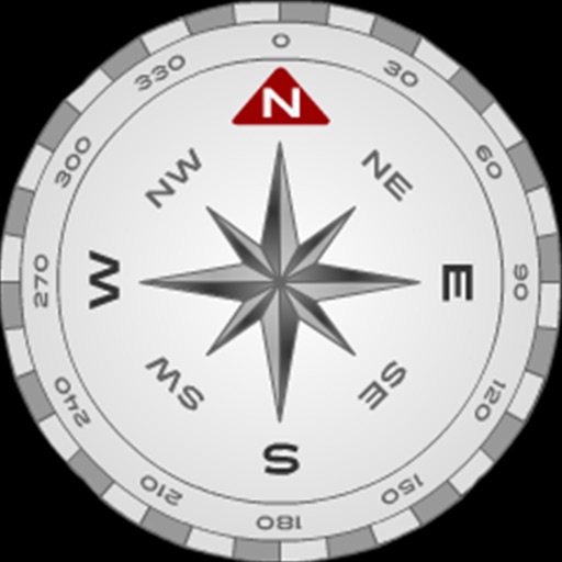
The app displays GPS information including address, latitude, longitude, altitude, and speed on a map. It also shows directions for north, south, east, and west, along with true and magnetic north.
Access location-based services and programs at MWR . Browse facilities with hours, locations, and GPS coordinates. View descriptions, call facilities directly, and find activities and events.