Helps users align satellite antennas by selecting from four antenna types: offset, special design, parabolic, and flat. It guides users through four steps to adjust the antenna position for optimal signal reception.
by Ralf Andrae★ 4.6345 ratingsUtilities$5.99Data updated 2026-09-08
Land, roads, and bodies of water using satellite imagery. Calculate distances, areas, and perimeters. Add custom units for and . Draw interior polygons to exclude features like lakes.
Operational planning and documentation for heavy transport.
The app provides GIS operational planning, intelligent navigation, and operational reports with photos. It includes a vehicle database and works offline, synchronizing when connected.
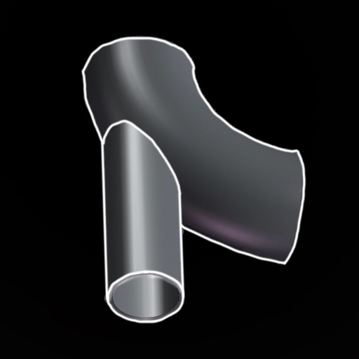
Calculate precise cut points for intersections. Input pipe and dimensions to determine fish mouth and cope angles. Generate instructions for accurate cuts. Export measurements for use in fabrication or welding.