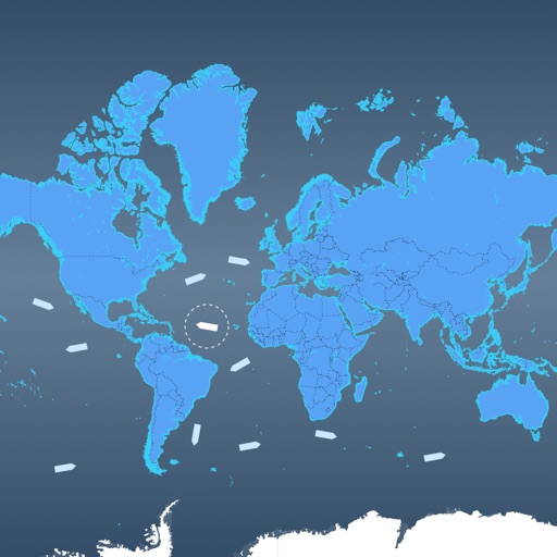
View AIS targets plotted relative to device position. Tap targets to see speed, course, destination, type, and length. Display GPS and wind data on an instrument panel. Overlay AIS targets on Navionics charts with an in- purchase.
by Digital Yacht Ltd★ 2.56 ratingsNavigationFreeData updated 2026-09-08
Monitor maritime areas using dual-spectrum thermal imaging for 24/7 surveillance. Track targets with AIS and radar, trace movement history. Receive real-time alerts and view dynamic video footage of alarm targets.
View and navigate updated -MAP charts worldwide. Explore, plan, and save Points of Interest and Routes. Use Autorouting to find optimal paths. Access chart layers and track progress. Share routes and points with others.
The app tracks ship positions in real time using data from AIS transponders. It provides vessel details, search capabilities, movement history, and photos.
Ships and vessels in real time using interactive maps. View detailed AIS data including speed, course, and location. Explore global marine traffic and identify cargo ships, cruise liners, tankers, and fishing boats.
View live movements on a global map. Use AR to identify ships via device camera. Tap ships to see name, type, and destination. Colour-coded icons aid identification. Track over 20,000 vessels simultaneously without clustering.
Track routes, find waypoints, and navigate offline
Navigate outdoors with offline GPS maps and real-time augmented reality. Track waypoints and custom locations. Use a gyrocompass, speedometer, altimeter, and inclinometer. Find celestial bodies and measure angles.
View past cruises on a map with satellite tracking data, showing exact routes, diversions, and missed ports. Track nautical miles, ports, and ships from history. Share statistics and explore detailed voyage records.
Monitor boat position and anchor status in real time. Receive alerts if the anchor drags or moves unexpectedly. Track vessel location and set custom alarm thresholds. View historical data and manage settings for multiple vessels.
Access real-time marine data such as navigation information, wind speed, and water depth. Connect iOS devices to a boat's network for data retrieval. Display data on a touchscreen interface. Share data with other devices on the network.
Navigation for maritime professionals. View vector charts and ENC data. Use AIS Class A or NMEA sensors for positioning. Connect via Bluetooth GPS for backup. Track vessel movement and route. Receive navigational alerts and updates.
View high-resolution NOAA nautical with depth data for U.S. coasts, Great Lakes, major rivers, Brazil, and global areas. Navigate using GPS, track vessel position, and set waypoints. Access tidal information and route planning tools.
Fishing maps show verified catch locations, boat ramps, and underwater structures. Users can mark and manage private waypoints. Track fishing trips, log catches, and access real-time weather and tide forecasts.
Track , distance, and direction with a digital and analog . Set custom distance values. Switch between portrait and landscape modes. Display in MPH, KM/H, and KNOTS. View altitude, maximum , and average with the Pro Pack.
View NOAA and USACE nautical charts for U.S. waters in vector format. Create routes, waypoints, and boundaries. Sync navigation objects across devices. Track boat position and speed. Set and monitor alarms for depth, speed, and proximity.
Track real-time positions of ships and yachts worldwide using AIS data. View vessel movements and identify vessels by name. Access detailed route information and historical data. Set custom alerts for specific vessels or areas.