Predict satellite and ISS sightings with second-level accuracy. Track Starlink satellite trains. Set reminders for upcoming events. Show compass direction and elevation for precise viewing. Countdown to sightings second by second.
by Applicate Ltd★ 4.7731 ratingsUtilitiesFreeData updated 2026-09-08
View current conditions, real-time temperature, and hourly forecasts. Check storm, rainfall, snow, humidity, pressure, wind force, and direction. Access 10-day forecasts and severe alerts.
Access real-time location data and choose from over 70 map layers for detailed boundary and land ownership info. View satellite, topographic, hybrid, and road maps. Set permissions and contact details for areas you visit.
Request professional home maintenance services for plumbing, AC repair, water heater installation, and satellite maintenance. Schedule on-demand services, track service history, and receive updates on job status.
The app provides 50 wildlife walks in Essex and East London, drawing routes on satellite maps. Users can view directions for their current section and see if they stray off the path using location services.
The app displays weather data from the German Weather Service for Europe. Hobby meteorologists can use this data to create their own weather forecasts.
The app documents over 300 antique shops across Maine, from cities to villages. Users can navigate between shops with turn-by-turn directions and view GPS coordinates on satellite maps.
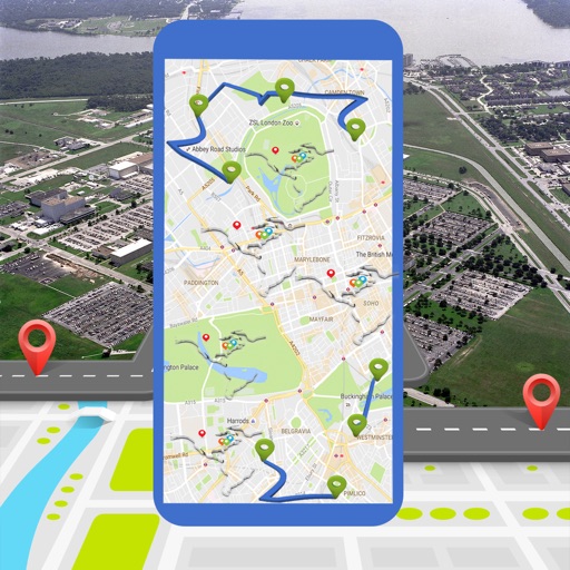
Calculate distances and areas using GPS. route lengths and track movement. Access GPS Camera, Compass, and Speedometer for navigation. View Satellite, Normal, Terrain, and Hybrid maps. Locate nearby points of interest and monitor live positions.
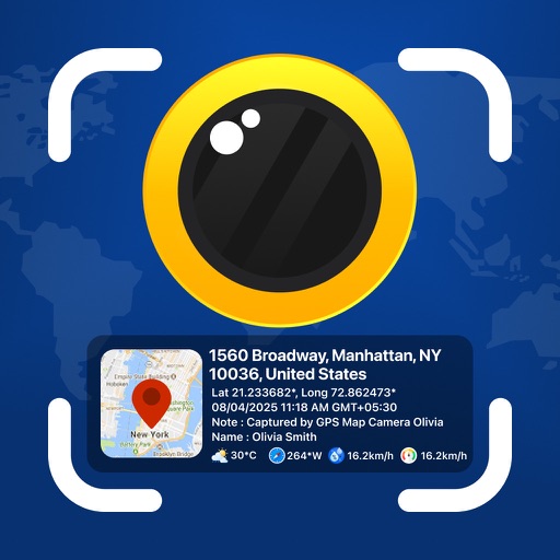
Photos and videos with real-time location, date, time, latitude, longitude, altitude, and weather data. Capture timestamps during拍摄. View map-based location pins for each media file. Export geotagged files with embedded metadata.