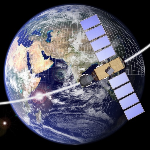
Design and explore satellite orbital geometry interactively.
The app lets users design and explore satellite orbital geometry using an iPad's multi-touch interface. Users can manipulate orbits with gestures, see real-time effects on orbits and ground tracks, and animate results.
by a.i. solutions, Inc.★ 5.02 ratingsEducationFreeData updated 2026-09-16
Navigate a map to guess city locations using satellite imagery. Tap to select and landmarks. Receive hints and score based on accuracy. Compare scores with other players. Share results on social media. Track progress over time.
Track routes using GPS navigation, pause and resume routes, and view route statistics. Log finds with details like name, category, and location. Take photos of finds. Toggle between satellite, hybrid, and standard maps.
Plan and manage satellite by analyzing economic, technical, and social factors. Simulate mission scenarios, optimize system performance, and evaluate launch strategies for different orbit altitudes.
The app provides practice questions and exams for the Amateur Radio General license. Users can review FCC rule text and track proficiency in question groups.
Play with a full 88-key keyboard and haptic feedback. Use multi-touch for chords and dynamics. Access 50+ instrument tones. Learn through interactive practice. Control via widgets without launching the .
Monitor electromagnetic fields from 5G satellites in real time. Use augmented reality to visualize satellite positions and view current EMF radiation levels.
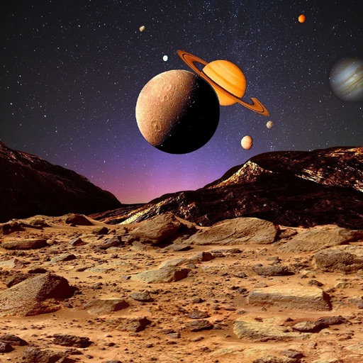
Explore asteroids and build the solar system by placing planets and adjusting orbits. Complete missions to progress through levels. Customize your universe by creating planets and adjusting gravitational forces in sandbox mode.
Learn about quantum mechanics concepts like atomic orbitals and quantum numbers. Explore electron behavior in atoms. Visualize probability distributions and energy levels. Track quantum number properties and their effects on electron configuration.
Explore real-time satellite data and simulations of Earth's systems using a Cube. Rotate 3D models of the planet, view atmospheric layers, and track weather patterns.
Monitor battery health with real-time state of charge predictions and adaptive forecasting. Simulate runtime under various load conditions. Control infrastructure for safety and performance.
Explore maps with detailed satellite views, hiking trails, and topography. Navigate transport networks and view railway routes. Access terrain analysis and seas. Customize map layers for OpenStreetMap and tile-based maps.
Explore 3D models of the digestive, respiratory, reproductive, and brain systems. View detailed descriptions of each organ. Watch animations of the digestive and respiratory systems. Identify male and female reproductive .
Solve problems by snapping photos of equations. Recognize handwritten and printed text. Get step-by-step explanations and solutions. Support algebra, calculus, and geometry. Share results via email or messaging.