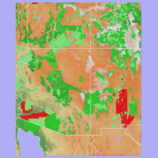
Scenic Map Grand Canyon
Mark Granger
Explore landscapes in three dimensions.
The app provides 3D topographic maps for iPad and iPhone. Vector map data is contained within the app for offline use, supporting navigation in various environments.

Plan, record, and share outdoor routes.
The app offers a global trail database with route suggestions for various outdoor activities. Users can plan, record, and share routes, with features like navigation and real-time location sharing for safety.
Showing 621–640 of 1,000 ranked alternatives.
Mark Granger
Explore landscapes in three dimensions.
The app provides 3D topographic maps for iPad and iPhone. Vector map data is contained within the app for offline use, supporting navigation in various environments.


Mark Granger
Explore 3D maps offline worldwide
Navigate with a 3D topographic map of the USA. View detailed terrain and vector data offline. Use in vehicles or during outdoor activities. Access global maps online with automatic caching for offline use.


Ecowave Resources LLC
Navigate trails and industrial sites
Track location and map terrain with real-time GPS data. Create and save custom routes. Mark waypoints and measure distances. Share maps and routes with others. Sync with devices for offline navigation. View elevation changes and terrain details.


Vijay Bhaliya
Capture photos with GPS coordinates and maps
Capture photos with embedded GPS coordinates and timestamps. View live maps and customize location details including addresses and map types. Edit geotag settings and share tagged images with precise location data.
Apps are ranked by functional similarity, category fit, rating confidence, and popularity.